Today we’ve been riding in the cycle tracks of Lance Armstrong. That’s according to the woman who served us coffee at the Lost Maples Country Store this morning who told us this is where the now disgraced seven times Tour de France winner did his training.
The only difference between us and Lance is we’ve been pushing up the hills on nothing more than honey nut loops and frosties while lugging 30lbs of kit. Mind you those ramen noodles we had last night could have contained all manner of synthetic substances, so we’ve been avoiding any random drugs tests. Despite being stripped of his titles there still seems to be quite a bit of pride in the native Texan. Even Susan in Austin mentioned him with a certain degree of reverence.
The nearly empty Lost Maples RV site next to the Sabinal River in Vanderpool was the quietest night’s camping yet, and the clear sky gave us a myriad of stars to ponder over. Knowing we were facing several steep climbs today – two before Leakey and a higher one after – we were up early and packing in the dark, a procedure hastened by light showers of rain.
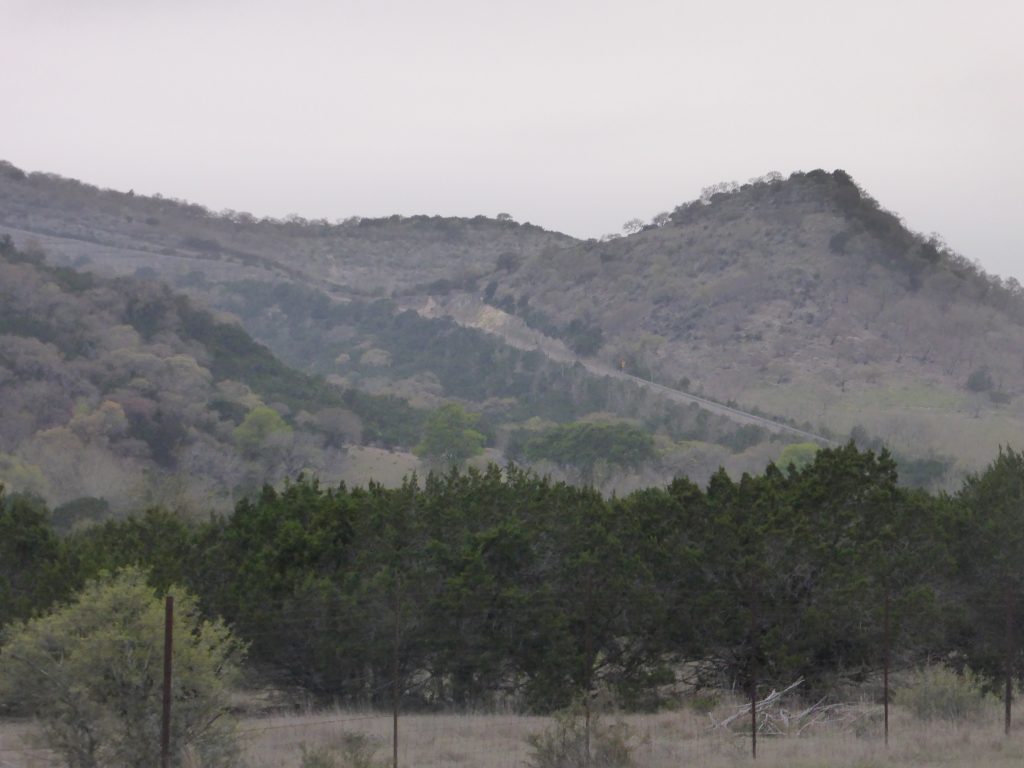
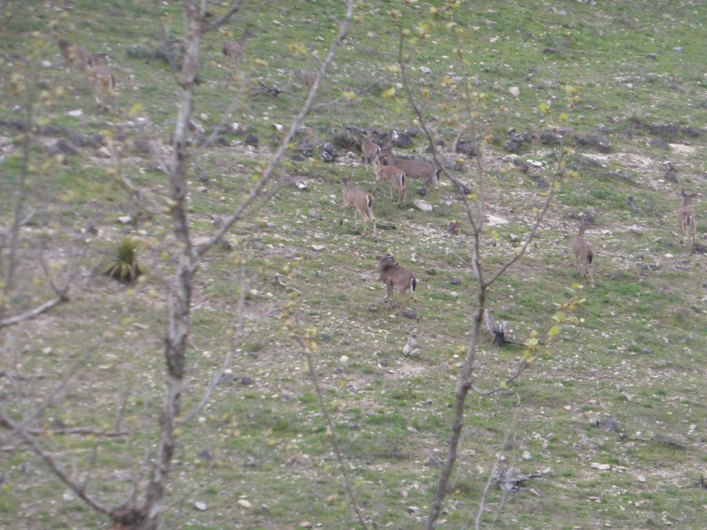
Buoyed by two cups of coffee each and pot-o-cereal breakfasts, there was nothing for it but to head outwards and upwards and just a few miles out of Vanderpool we began our first climb. Unusually we could clearly see the steepness of the climb laid out before us – virtually a straight up – and as our barely awake legs began to burn, a herd of white tailed deer dashed up the slope to our right and escaped into the brush and out of view.
A few minutes into the climb we could look back and see our overnight campsite in the wide valley bottom below us. The cool of the grey morning was soon forgotten as we gained height, twisting and turning around the hillside. We were instantly glad we hadn’t tried to attempt it last night. Across a county line, the surface changed but the scenery didn’t … the steep sided hills had bare trees and goats. Lots of goats.
“Each time we thought we were about to start the descent another slope would kick up and we’d be climbing again”.
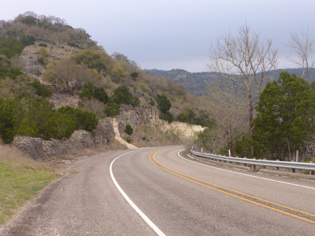
The second climb had far more switchbacks, but although it was slow going, the gradient was measured enough that you could just grind it out. The traffic was really light so there was plenty of room for weaving the bikes across both lanes to take the sting out of the slope. On reaching each peak, the plateau seemed to span for much further than we anticipated. Each time we thought we were about to start the descent another slope would kick up and we’d be climbing again.
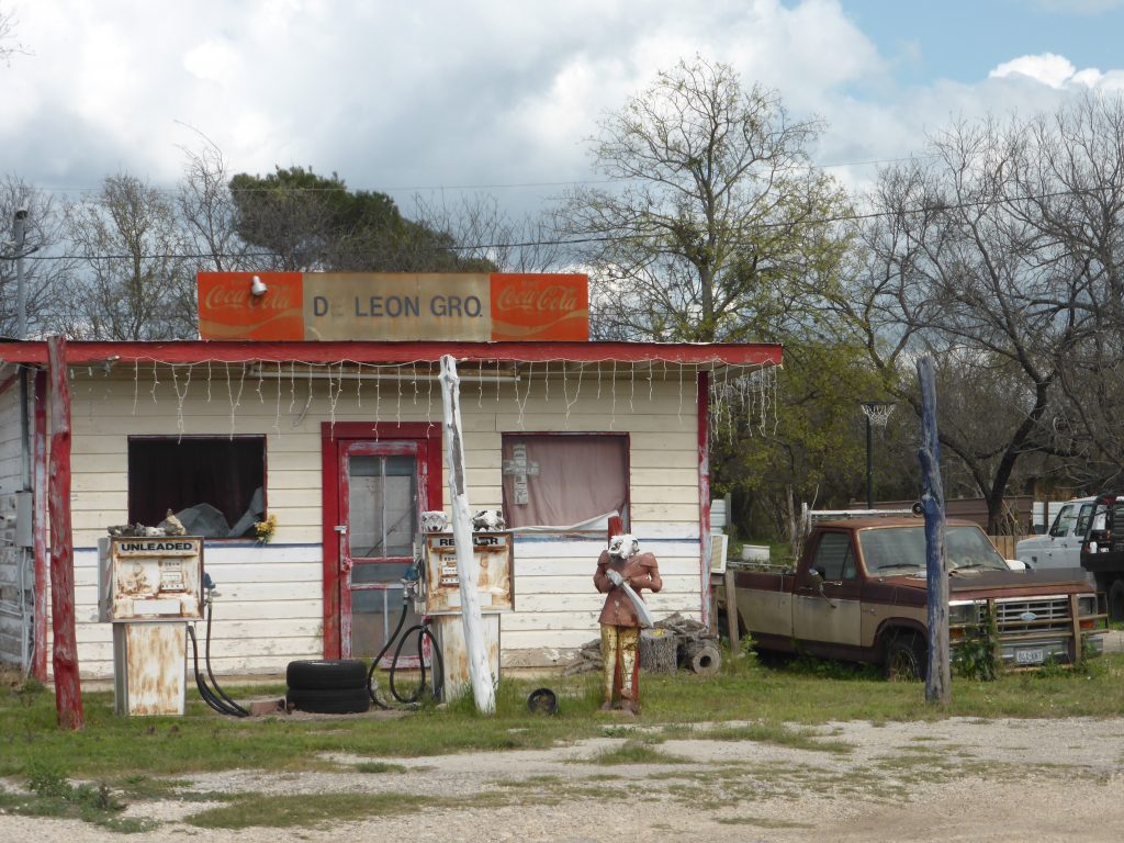
We crossed the Frio River and then into Leakey. Archeaological digs have uncovered evidence of Paleo-American occupation of the area and Native American tribes such as the Comanche once lived in this area. But the modern town of Leakey owes its origin to John Leakey and his wife Nancy who, with a few others, settled near a spring along the banks of the Frio River.
If the occupants of the Leakey cemetary could have talked, we would almost have got a first-hand account of the founding of modern America. The oldest burials are of Sara Catherine McLaurin and fifteen year old Allen Lease who were killed on April 19th 1881 in the last Indian raid in the Frio Canyon area. The next person to be buried was civil war veteran John Colter Brice who died on April 30th 1881.
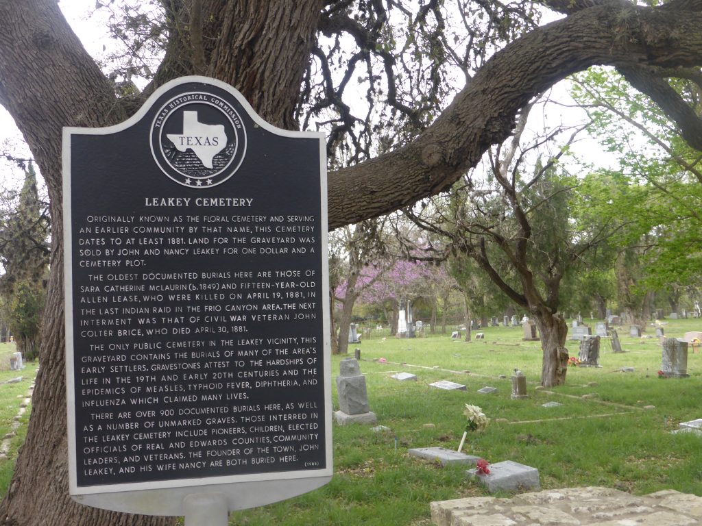
Indian raids and war were far from the only things these early settlers had to worry about. The gravestones pay witness to the terrible toll disease took on those early pioneers, including epidemics of measles, typhoid fever, diphtheria and the flu. Among the more than 900 people buried there are the founders themselves – John and Nancy Leakey.
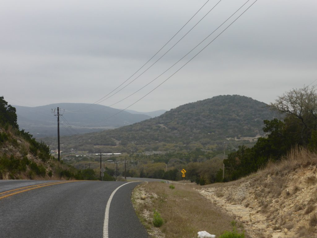
We picked up supplies at the local grocery store, took a leak in the dodgy portaloo outside and then sat on the front porch devouring bananas and oranges while drinking freshly made, but foul-tasting coffee. But there was no delaying the inevitable and before long we headed back out for our third and longest climb of the day. This brutal little number went up around 750ft in just a couple of miles and took us high into the Texan Hills on yet another watershed. There’s a real thrill riding so high you able able to look down on the backs of buzzards soaring below you!
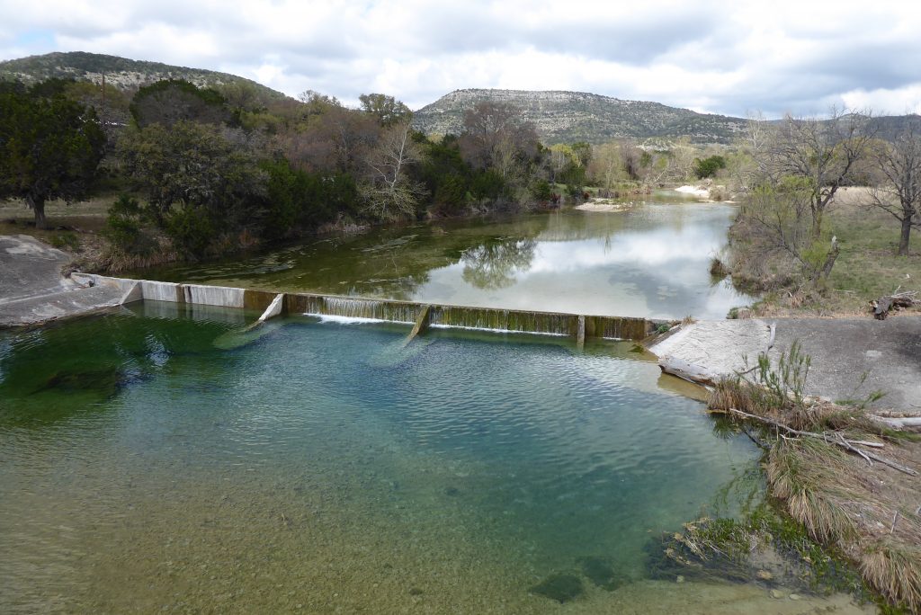
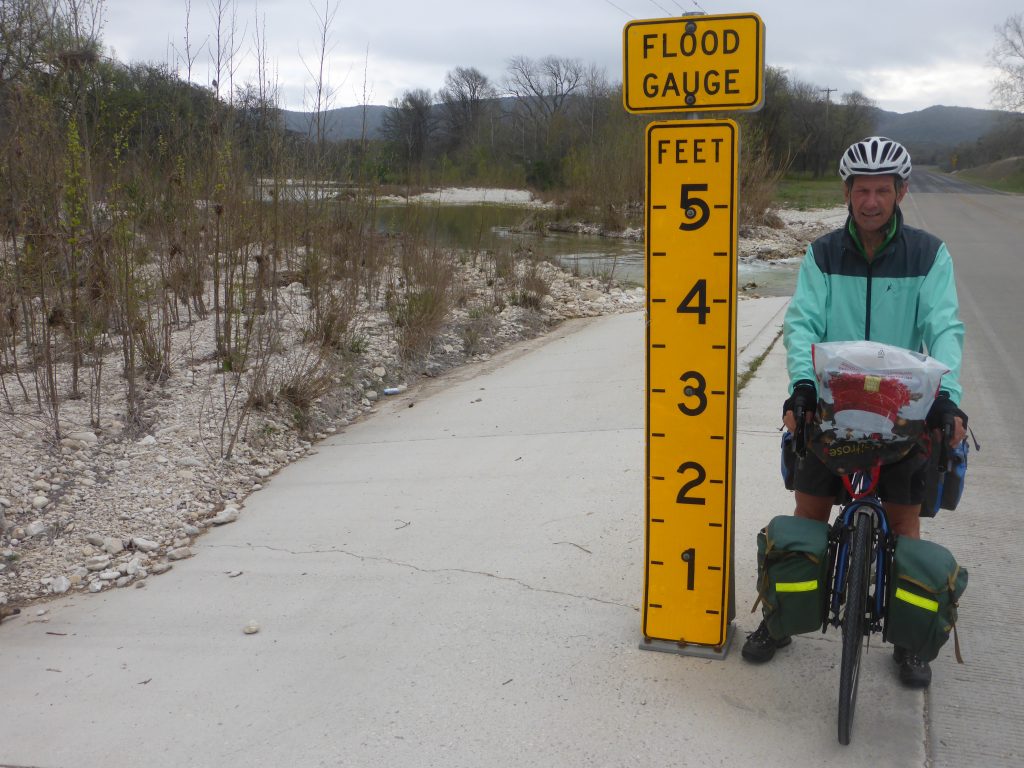
The traffic was incredibly light all day and for much of the time we had the peace and tranquility of the uplands all to ourselves, bar the occasional posse of Harleys pottering past. The views were spectacular – rocky bluffs, deep wooded valleys and dry river crossings. We crossed one river just before Camp Wood and the water was azure blue. But again the measurement posts by each of these crossings is a warning that these benign streams can turn into torrents in just a few hours – and suddenly these valleys and communities can be cut off, or worse still, under water.
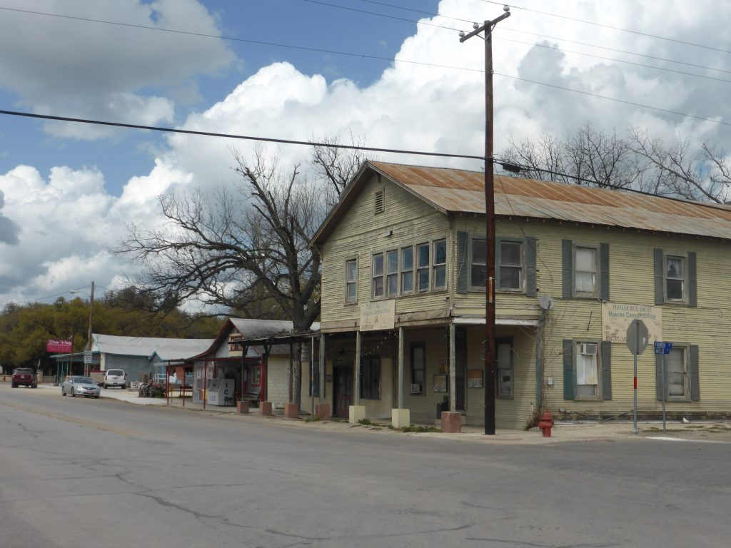
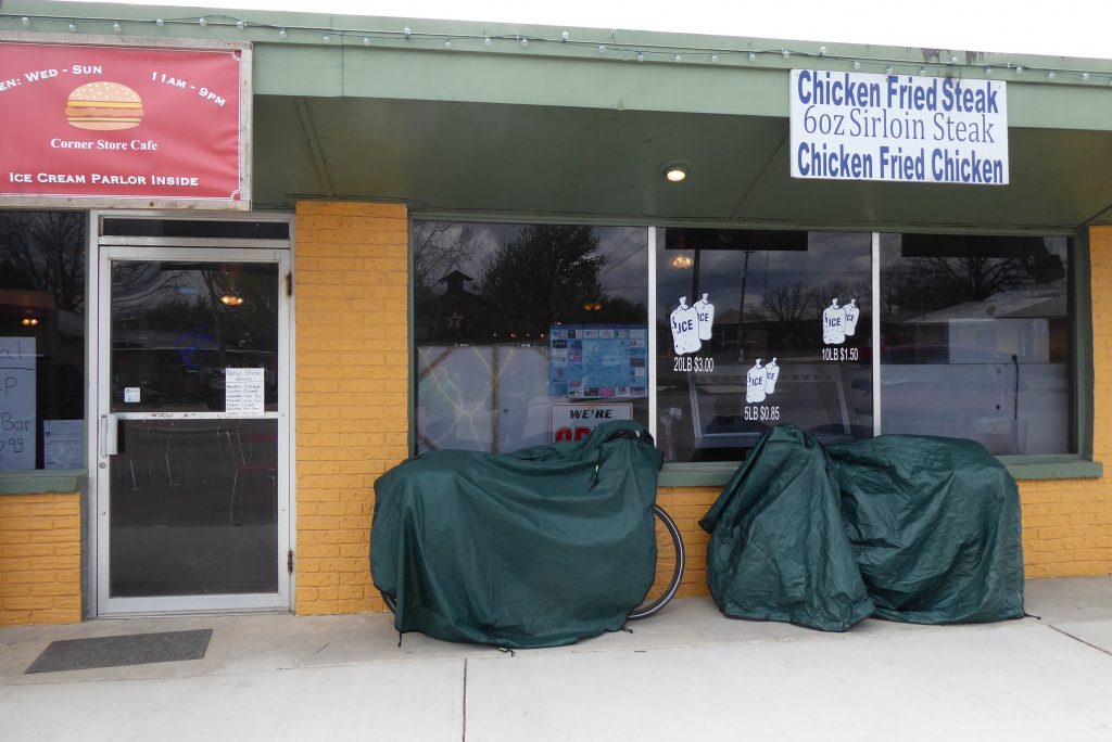
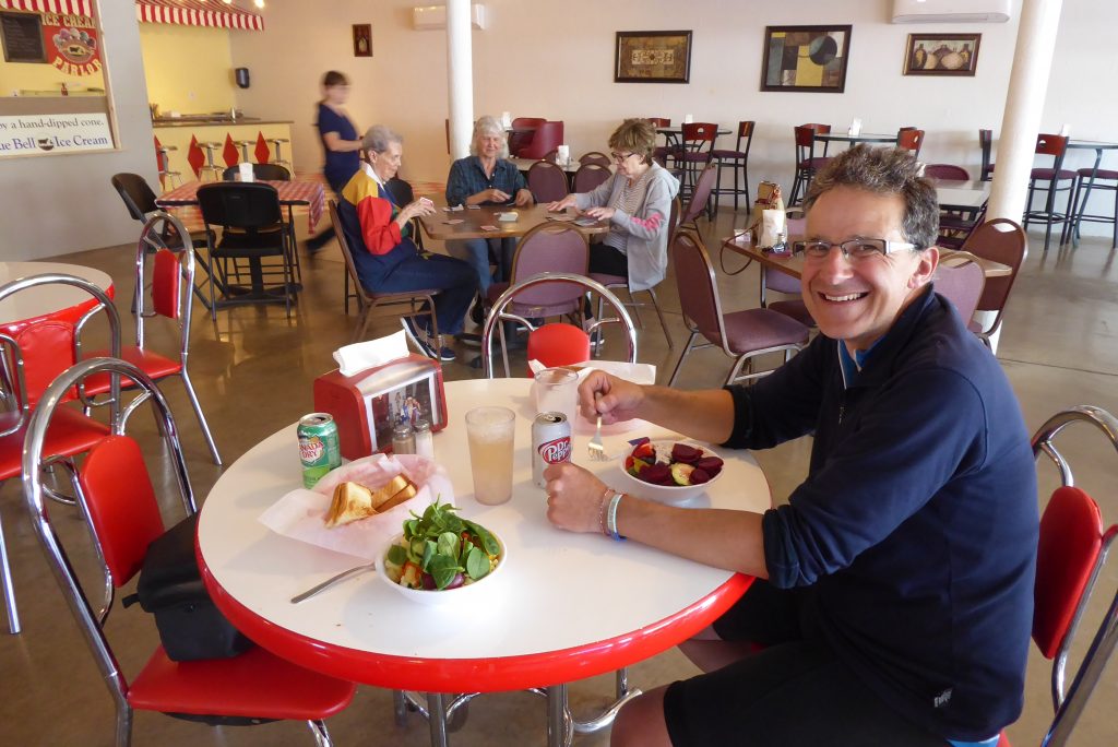
Camp Wood seemed much poorer than many of the communities we’ve cycled through in the last few days and had the feel of a frontier town. Initially it didn’t look like a good place to get lunch and stock up on supplies, but it proved a real surprise. Draping our tents over our bikes to dry them from the morning’s rain we found the Corner Store Cafe, which had that rarest of things – a salad bar. It also boasted an Ice Cream Parlor. Terry was in seventh heaven and my fried chicken sandwich was wonderful – a great reward for a morning of climbing.
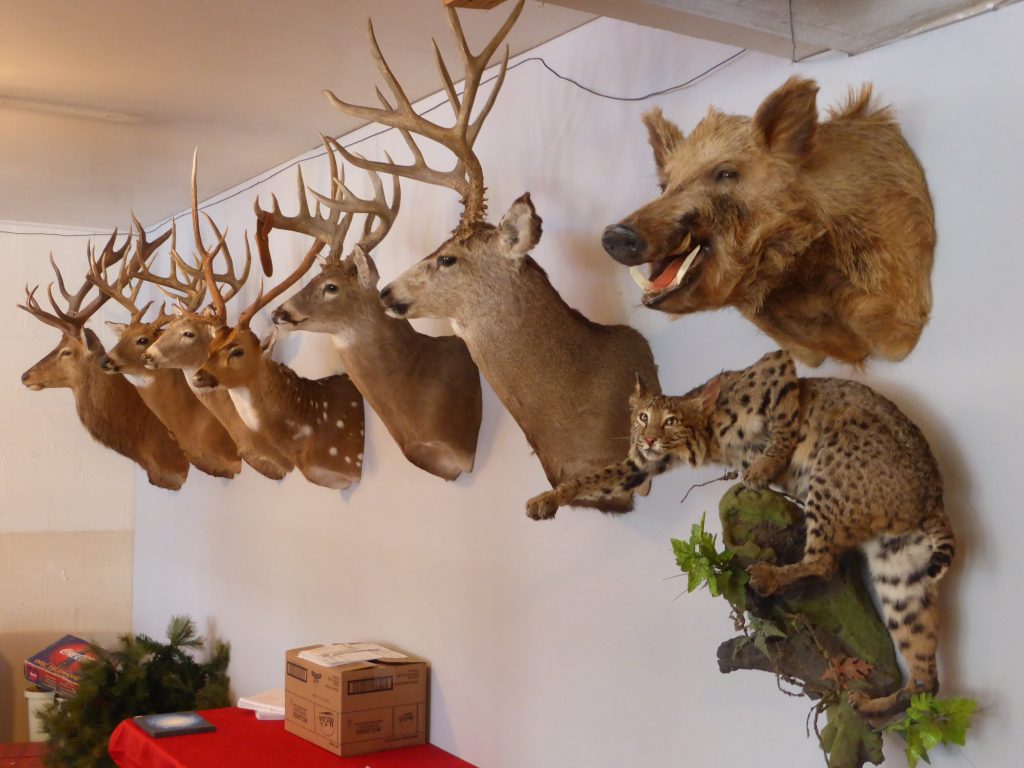
Inside the cafe three elderly ladies were playing cards while the chef’s small daughter chatted away to us and played with a couple of toy cars. A selection of deer’s heads mounted on the wall kept watch on proceedings while a stuffed bobcat lashed out a paw in frustration.
“Thousands of miles of countryside, but barely anywhere to pitch our tiny tents”.
“Don’t camp out, there are a lot of illegals coming through!” warned one of the ladies playing cards, but tonight we had no choice but to wild camp. There wasn’t anywhere official to put up our tents until Brackettville which was at least 38 miles away and we’d already ridden for 36 miles over quite challenging terrain, so had no desire to chalk up a 75 mile day. Texas was proving incredibly frustrating – thousands of miles of countryside, but barely anywhere legal to pitch our tiny tents.
We stocked up on food in Family Dollar, made sure we had plenty of water to last us overnight and rode out of Camp Wood. This is deer country – huge ranches hold deer for hunting, most protected behind mile upon mile of high deer fences. But occasionally, where the fences are lower, the deer get through and make a dash for freedom – only to come face to face with a two and a half tons of Ford F150 travelling at 70mph. The effect isn’t pretty. The road from Camp Wood was a killing zone, with the stench of rotting animals making for some unpleasant riding.
“We did hope there would be a sign offering a few feet of land for passing travellers, but I guess we were tilting at windmills”.
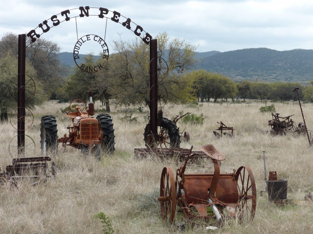
It’s said 95% of the land in Texas is privately owned and much of that is thrown over to cattle ranching. The King Ranch in south Texas spans more than 825,000 acres and is bigger than the U.S. state of Rhode Island which covers 1,214 square miles and is home to more than a million people. But you rarely get to see where the people live – the ranch houses are far far behind the fences and all you are likely to see is a gate with a name. Terry’s favourite of the day was Donkey Oatie. We did hope there would be a sign offering a few feet of land for passing travellers, but I guess we were tilting at windmills.
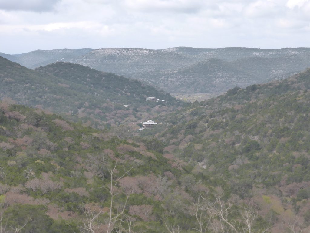
The scenary remained spectacular with hills and bluffs straight out of a western. Whoever was responsible for naming the local peaks had obviously been smoking some of the funny stuff, or had decided that since his time on this earth was short he might as well have some fun. He started reasonably enough with Caprock Mountain. Rawhide Mountains certainly sounded frontier-like and Pike’s Peak was straight out of a Jack London novel. But then he came up with Double Knobs, closely followed by the almost unsayable Gobbler Knob. Whoever he was, tittering schoolboys across the world (and two English cyclists who really should have known better) are forever in his debt.
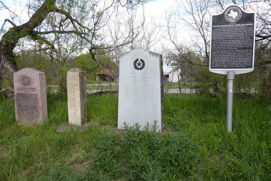
On a branch of the Nueces River near Montell we came across a line of memorial stones and an historical marker indicating we were near the site of the Nuestra Senora de la Candelaria Mission. It had been built here in 1762 by Franciscan missionaries for the conversion of the indigenous Indians to Christianity and the protection of Spanish lands.
“The monks must have realised they weren’t there for the communion wine and a sprinkling of Hail Mary’s”.
Now I can already hear you thinking this idea probably didn’t go down a bundle with the locals – and of course you’d be right. In fact this was the third time the Franciscans had tried to build a mission. The first one was abandoned in 1755 after ‘friction’ between the friars and soldiers. The second, by the San Marcos River, failed when the friars discovered the Indians were more concerned with protection than converting to Christ. Who’d had thought?
So when they came to Montell, and around 100 Lipan-Apaches quickly put their hands up to live within their walls, the monks must have realised they weren’t there for the communion wine and a sprinkling of Hail Mary’s. In fact this third attempt proved even more disasterous than the previous two.
Difficulties arose due to scarcity of meat and ‘unrest and insincerity’ among the mission Indians, inadequate defences and devastating raids by Comanches and Apaches. Just five years after opening it was abandoned for the last time and the smooth building stones were taken by the early settlers to build their houses. You’ve got to had it to the Franciscans, they really did try. But I’m really not sure that their venture, which translates as ‘Our Lady of the Feast of the Purification Mission’ was ever going to cut it on the wild Texan frontier. Still, those stones were useful eh?
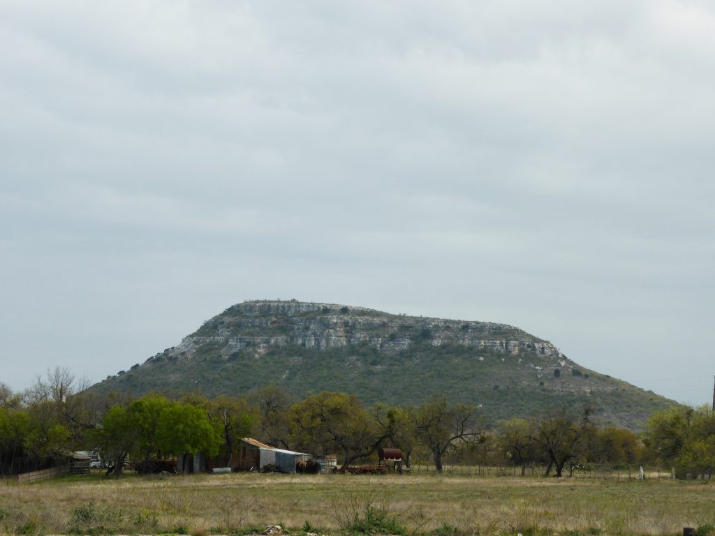
As we rode on, you could almost imagine Comanche warriors lining up on the top of the bluffs and looking down on the missionaries and wondering when they were going to get the message, before delivering it in the form of a hail of arrows. You’d wonder what those tribes would make of the landscape today – all fenced off with just a narrow corridor for the road. So much for the open plains.
Riding through headwinds all afternoon, we kept looking out for a discreet and suitable place to camp, but with eight foot high deer fences and ‘No Trespassing’ signs things weren’t looking good.
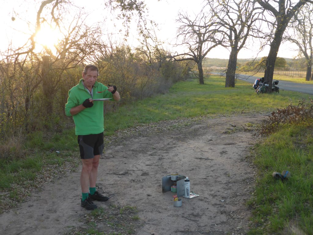
The golden hue of the early evening light tempted us to keep pedalling (every mile today is one less tomorrow) and we kept up a final search for more than six miles before we eventually found a flat spot by two large trees, which had forced the fence a little further from the road. Our tents would still be seen by passing vehicles, but it was the best we could do.
“This is now our second wild camp of the journey. Terry and I are going feral”.
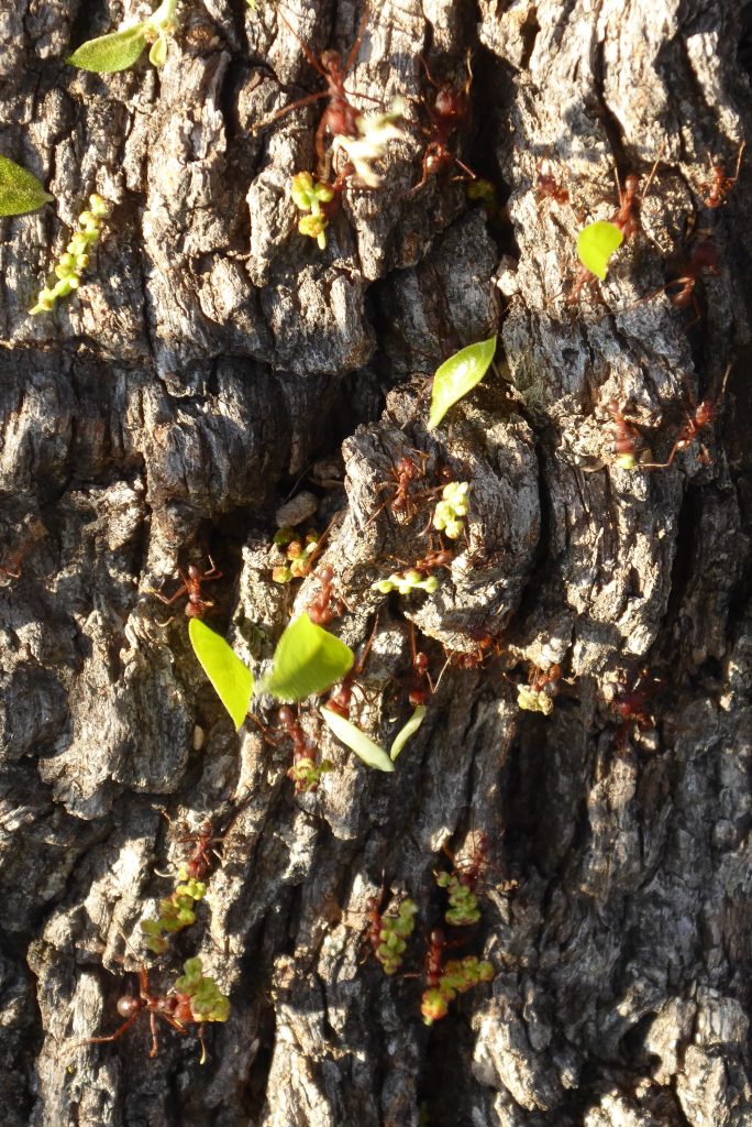
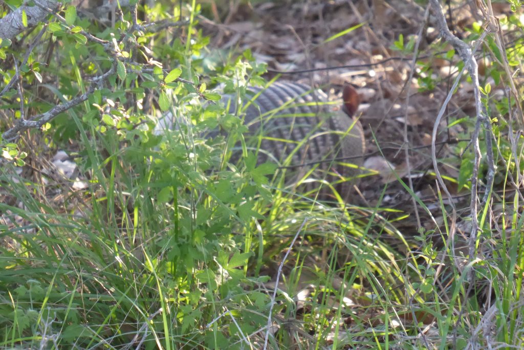
We cooked dinner first, followed by snickers bars and tinned fruit and then put up our tents in the fading light just before dusk fell. The camp spot turned out to be a haven for wildlife, leaf cutter ants marching in columns up one of the trees, a bat flying past and most exciting of all, an armadillo scurrying around his burrow just beyond the fence and not the least bit worried by us.
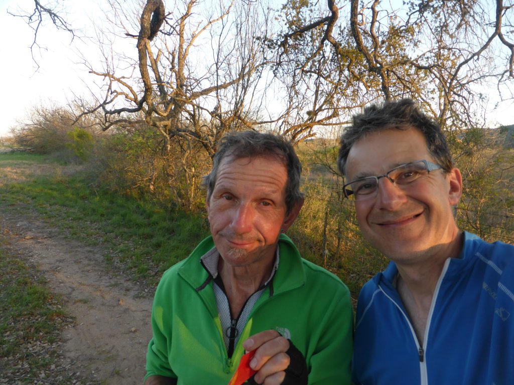
It’s probably fair to say we remained a little anxious, concerned that one of the occasional pick-ups using the road would take an interest in us, but despite one slowing down as if to stop, they continued on into the night. Laying in the silence we could hear a couple of dogs barking, probably from a mile or so away, the odd bird chirping and slight rustling from our armoured friend. At one point I became convinced I could hear distant voices, but they eventually disappeared. This is now our second wild camp of the journey. Terry and I are going feral.
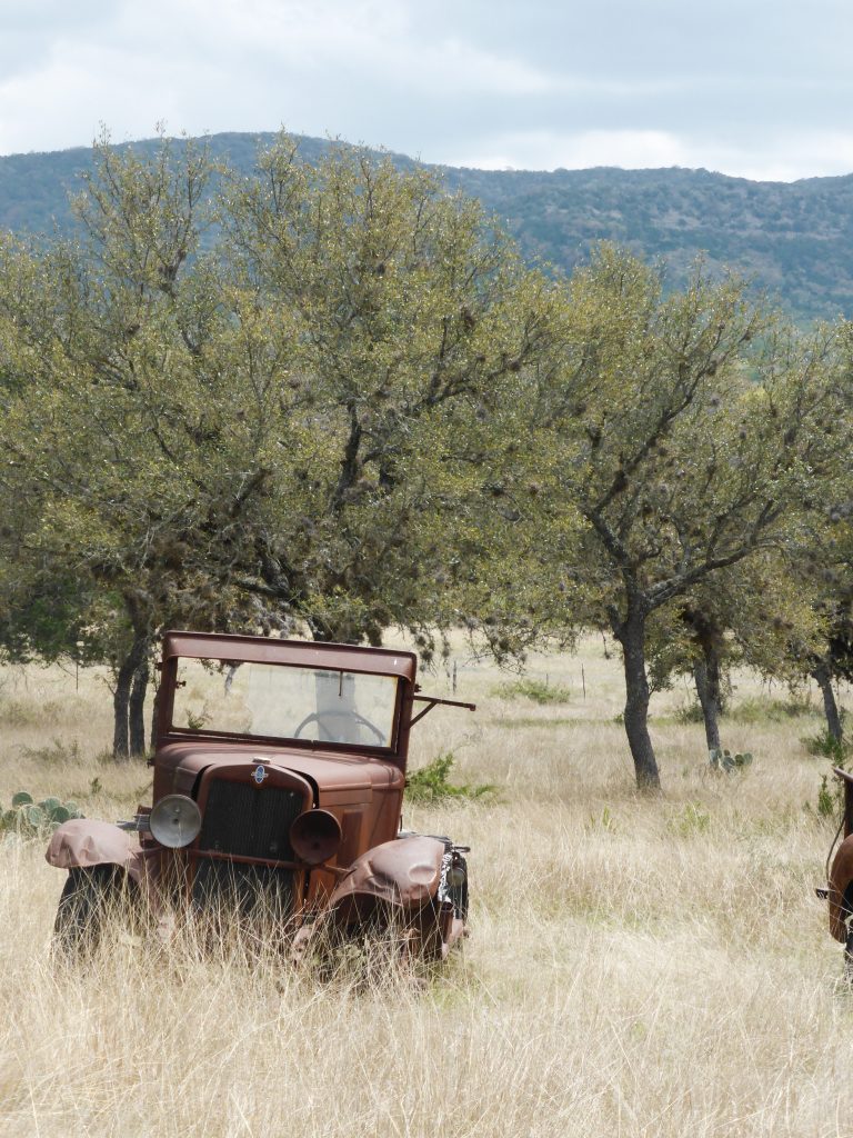
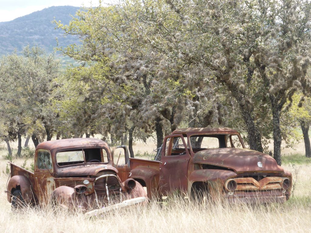
Today’s miles: 63.9
Miles since Anastasia State Park: 1,581.36

I remember the fences. It is about impossible to find places to camp because of them. Even though there the landscape is vast and uninhabited for the most part, a tent sticks out in the nearly treeless landscape and the thought of being challenged for being on private land by a Texan with a rifle makes one think twice about potential camping spots.
Armadillos are funny creatures. As a teenager in Texas, my friends and I sometimes made sport of catching armadillos by the tail. They would grunt and wiggle fiercely once caught. Of course we let them go… Their claws are quite sharp and their teeth are too! Another interesting thing about armadillos is that they can jump straight up nearly 3 feet when startled. Pretty bizarre to see!