Crossing a bridge over the Colorado, we were suddenly in California – our eighth and final state of the Southern Tier. It was an instant let down for Paul … no classic cars cruising the boulevards, no film stars, no babes. It certainly wasn’t the California you see in the movies and there were few signs of the state’s wealth here.
I doubt the Bee Gees ever thought about writing a song about Ehrenberg’s Californian neighbour across the river. Blythe was named after Thomas Blythe who established water rights to the Colorado in the region in 1877. The I10 runs slap down the middle of town and apparently tourism plays a big part in the town’s economy as its a good stopover point between Phoenix and LA.
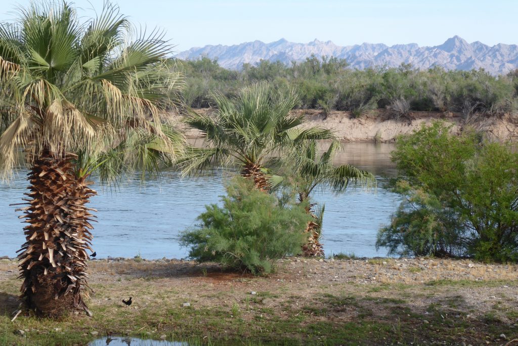
Out of town, riding through the Palo Verde Valley, it felt very much like the Cambridgeshire Fens, but bigger and surrounded by mountains. Pan-flat, and with fields of alfalfa, wheat and onions, the lush green, thanks to irrigation from the Colorado, was a welcome addition to the otherwise neutral beige colour scheme of the landscape. With an agricultural area comes the small shacks, workers’ RV parks and the occasional settlement.
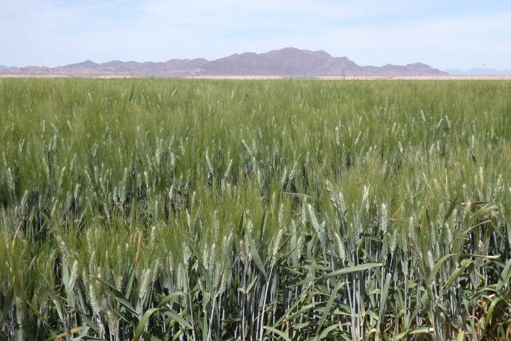
Ripley was one such, and it was also the end of the line of the California Southern Railroad. Presumably the old grain silo, rusting away behind the closed store, was the central collection point for local farmers to ship their grain out.
“There were hundreds of them under one particular bridge”.
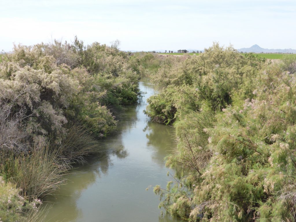
As in Florida, we were now cycling below the water level of the irrigation channels, but at least it meant we got to see any wildlife at eye level. Where there’s a waterway and a bridge there are house martins. There were hundreds of them under one particular bridge … the romantically named Palo Verde Lagoon Bridge.
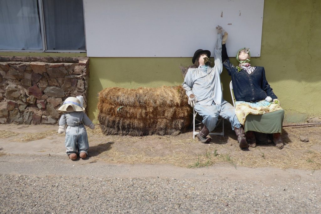
Palo Verde actually consisted of some creepy home-made mannequins dotted around the place and the ubiquitous gas station. And a very jolly old lady who gleefully told us just how hilly and twisty the next forty miles were going to be. Unusually, for a local, she was bang on the money.
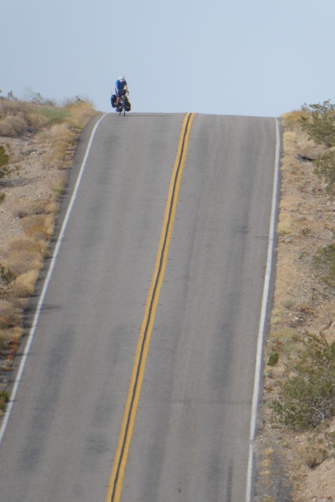
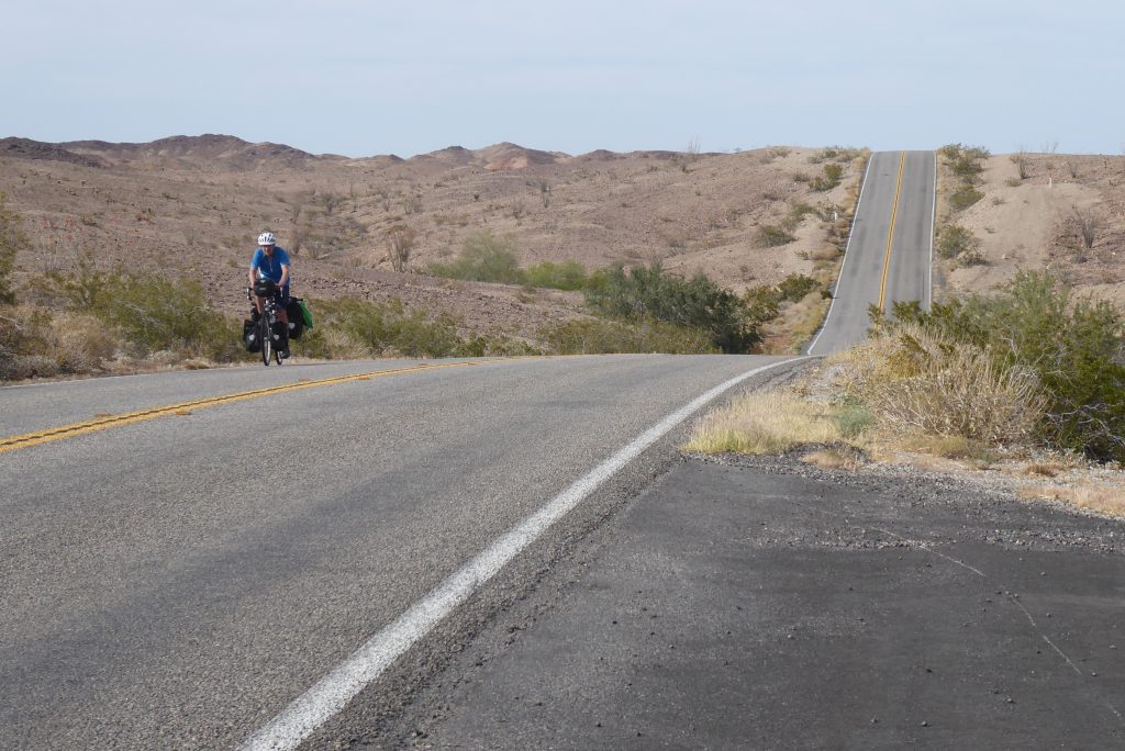
At this point the perfect storm kicked in … hills, heat, a headwind and fast traffic on a narrow road. A few miles of slow, twisty switchbacks and blind summits down the road, it suddenly got worse. The drivers all tanked along like they were in the film ‘Speed’ … ‘I can’t take my foot off the throttle and go below 50 or my car will explode! I can use my horn, and possibly my steering wheel, but definitely not lift my driver’s boot.’
“The car braked, stopped, the guy got out, then thought differently”.
One car came up behind us on a blind bend in a cutting and had to swerve to avoid hitting us. It shot past. We waved in a friendly manner as if to say ‘“thank you for nearly killing us”. The car braked, stopped, the guy got out, then thought differently and got back in his car. As we cycled by, he gesticulated and yelled out of the window at us “I’ve got kids in the back!”
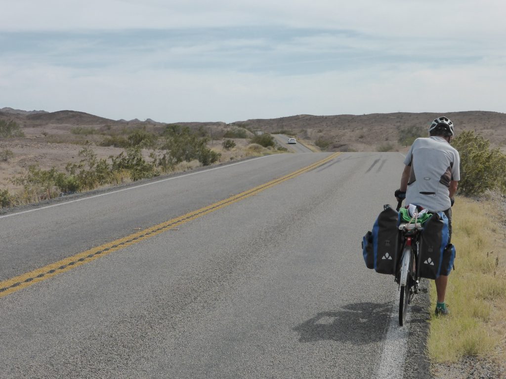
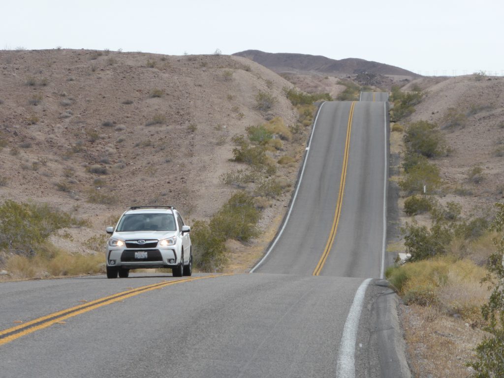
Yes, we thought, which is why you should be driving much more slowly around blind bends! Imagine if it had been a broken down truck, not two scrawny Brits on bikes. We carried on cycling past him, angry and confused. There was no “sorry for nearly wiping you out” or “sorry about nearly hitting you” it just seemed to be our fault for having the audacity to ride our bikes on the road. And didn’t we know about his kids in the back?
When he went by a few minutes later he gave us a wide berth on a clear section of road. We like to think he will be a little more aware from now on, but perhaps we were kidding ourselves.
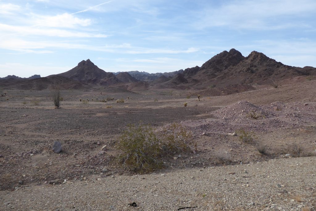
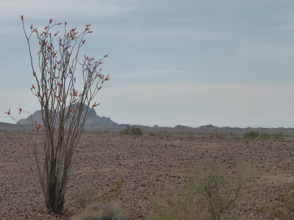
Several hours of hard climbing into a hot headwind later, it occurred to me that for the first time in nearly 3,000 miles, there was no one around … no people, no shacks, no trailers … nothing. The landscape was harsh and barren and had a moon like quality about it.
“You could imagine the producers of Star Trek using to represent another planet”.
We cycled first through the Midway Mountains and then onto the Chocolate Mountains and the ground here was definitely much darker. The cacti had also changed into peculiar types we’d never seen before. It was one of those landscapes you could imagine the producers of Star Trek using to represent another planet. The afternoon sun made it even more dramatic.
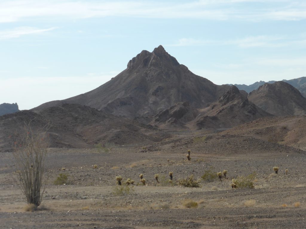
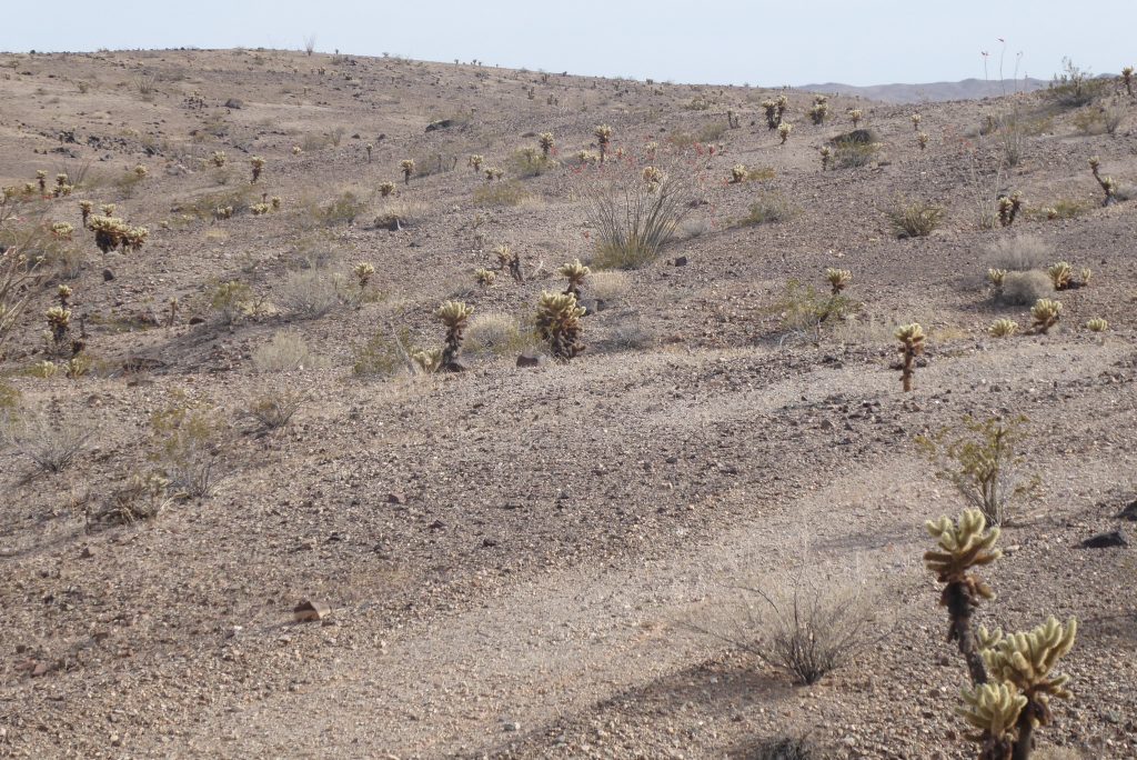
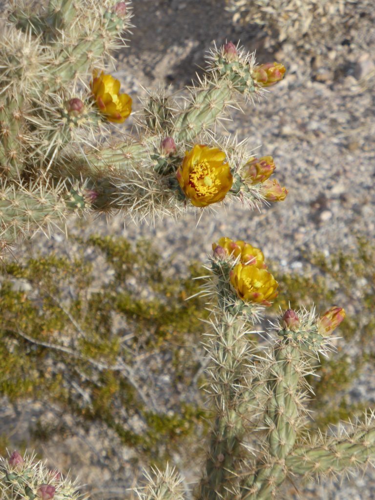
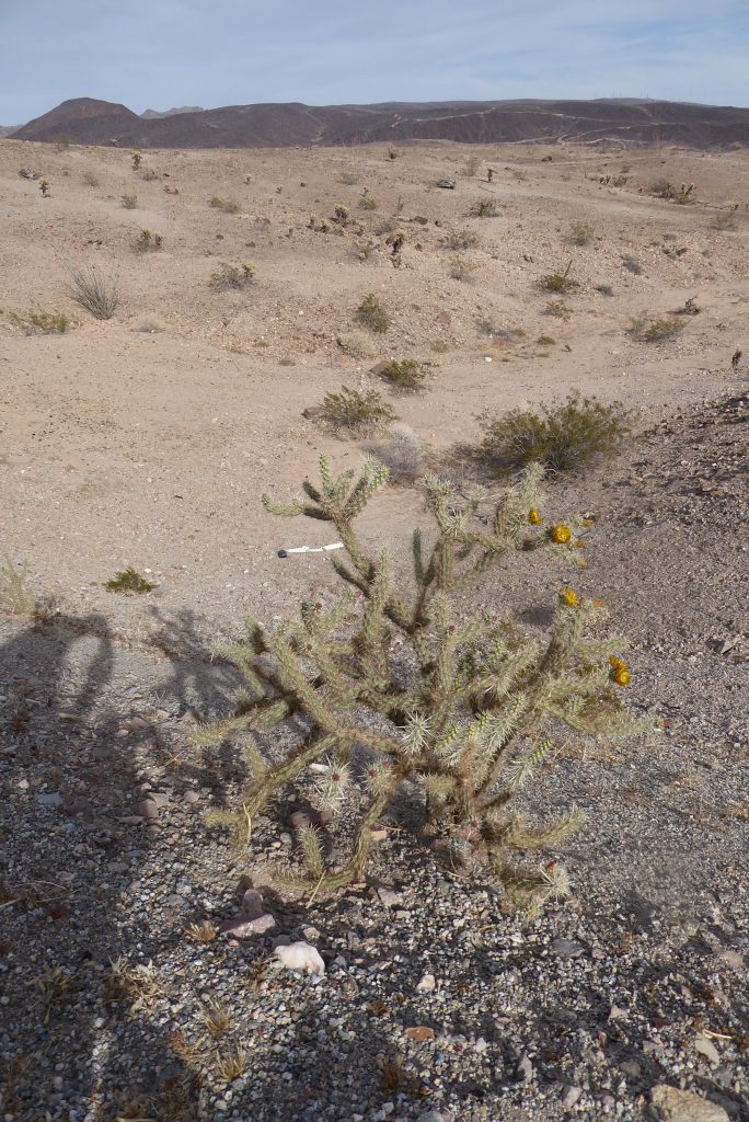
The only signs of humans up there were on the road, the usual snakes of discarded tyre shards and, more disappointingly, thousands of pieces of broken glass bottles glinting in the sunshine.
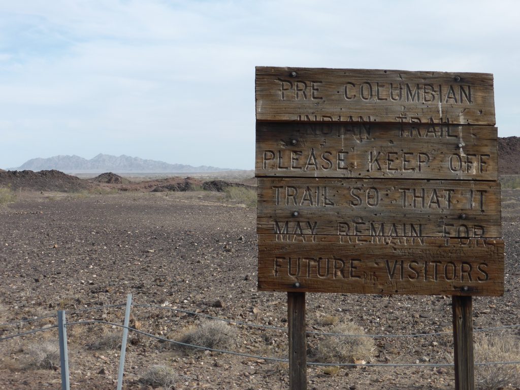
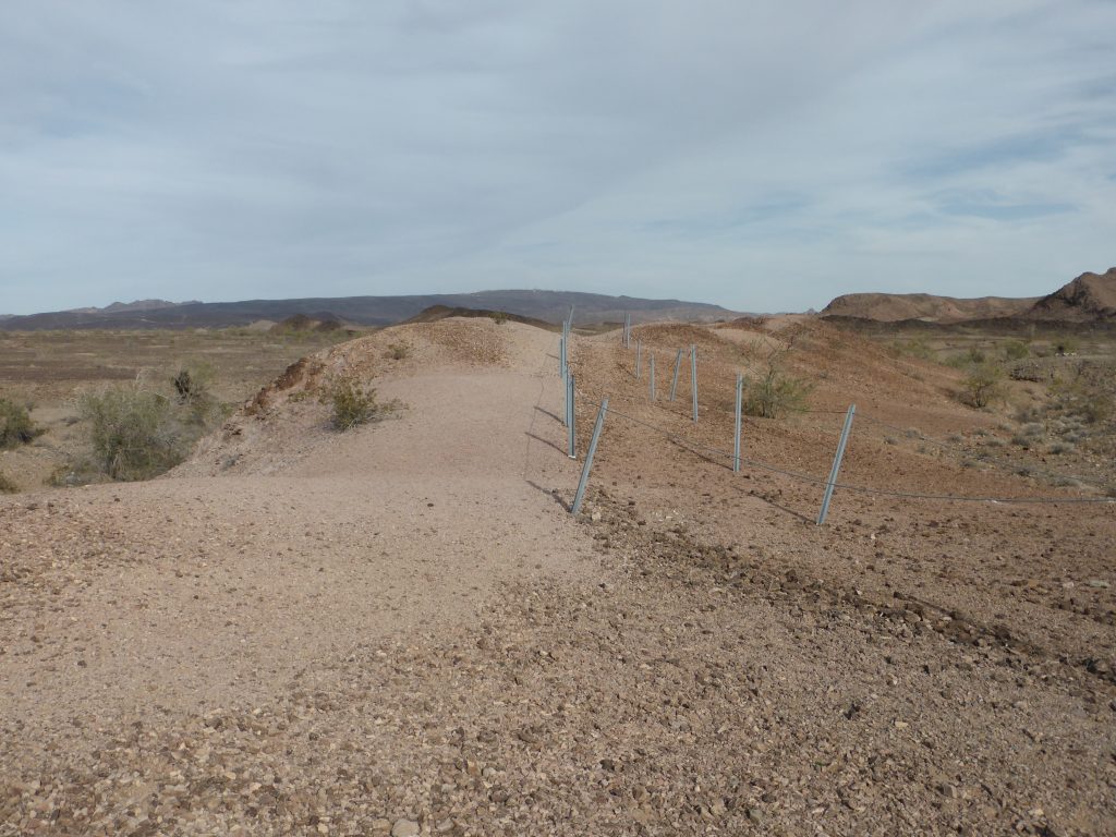
At one point the bleakness (although there was a beauty in it) was broken up by a wooden sign pointing out a Pre-Columbian Indian Trail which runs from the Colorado River to Lake Coachuilla.
It was roped off to stop people walking on it, but to be honest its outline in the rocky soil was so faint the best way to preserve it would probably have been not to draw attention to it at all.
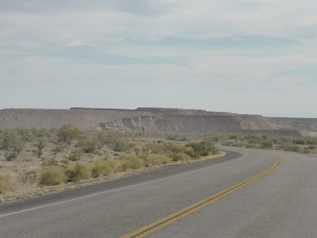
We’d hoped for a speedy descent from the plateau down the Ben Hulse Highway, but our hopes were dashed by a headwind and we were reduced to pedalling down the last twelve miles. But at least it gave us plenty of time to work out what was behind the 6ft barbed wire topped fence at this end of the Chocolate Mountain range. This time the metal the miners were after was gold.
Glamis, just a dot on the map, turned out to be the dune buggy centre of California. Named after Glamis Castle in Scotland it has little more than a store and a huge RV storage area, but it is a mecca for off roaders who descend on the area to blast their machines around and across the Algodones Dunes, which stretch for 45 miles.
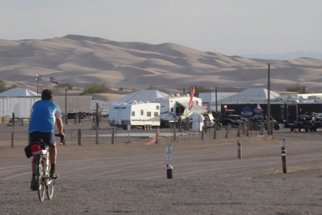
Much of the dunes are protected but the Imperial Sand Dunes Recreation Area, sometimes called the Glamis Dunes, makes up the largest sand dunes open to off highway vehicles in the entire United States and Glamis had a whole range of businesses catering for the buggy drivers every need.
“He had also said we could kip down on his porch outside for the night”!
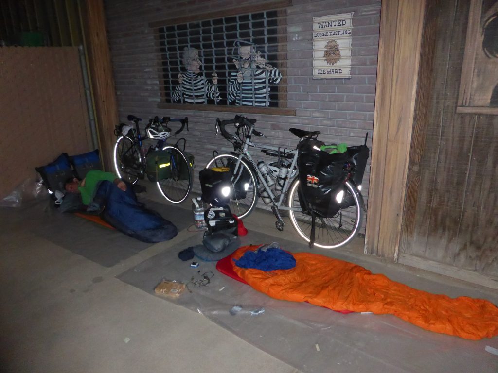
It being Sunday evening, most had been loaded up and driven away by the time I arrived, leaving a few guys and their sand toys outside the only store. The store was shut, but on chatting to them, one opened it up so I could buy some water and a couple of cold cokes for Paul’s arrival a few minutes later. He had also said we could kip down on his porch outside for the night. Result!
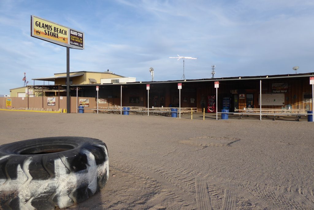
As the sun set on our unusual campsite and the wind and the temperature died down, Henry turned up. He was walking home to Missouri … from Washington, as one does. We were a bit wary at first as he repeatedly asked if the store sold beer and smokes, whilst going through the butt bins on the tables outside the store. He then asked if we had any food.
“He’d had a troubled life with a wife who turned out to be a crystal meth addict and a brother on heroin”.
It was one of those situations where you were unsure which way it was going to go and for the first twenty minutes or so we were both thinking that we might have to pack up and cycle on further, unsure what his intentions were. But Henry, turned out to be no threat at all. He just wanted someone to talk to.
Slowly, we started chatting, well mainly Paul and Henry reeled off his life bit by bit. He was in his forties and he’d had a troubled life with a wife who turned out to be a crystal meth addict and a brother on heroin. He’d been homeless in Olympia, Washington but had been working at a mission and seemed to be trying his best to turn his life around. Now he was walking home to see his mum.
It was an incredible journey – the quickest route across is over 2,000 miles and he was far from taking the most direct route. Going via Glamis made it nearer 3,000 miles. Walking 30 to 40 miles a day we estimated it would take him at least 85 days to get there. He was obviously very intelligent, he just hadn’t had (or taken?) many breaks in his life.
We shared some drink and food with him and many stories later, we called it a day. Henry disappeared round the side of the store to doss down, and we got our bags out by our bikes and in true Easy Rider style, went to sleep lying beside them. Well we would have done had it not been for the overnight cavalcade of trucks, lorries and trains passing through. America, will you just stop moving about goddam it!
Today’s miles: 65.79
Miles since Anastasia State Park: 2,889.51
