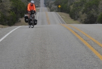
On a good days cycling there’s nowhere else you’ve rather be. Conversely on a bad day’s riding you’d rather be anywhere than in the saddle. Today was a good day. At one point, I was pedalling along a straight road, high in the Texas Hill Country, the light bright and a slight chill in the air. I could see for miles – down into the valley carved by the Gaudalupe River, myself cresting the ridge that marked the watershed.
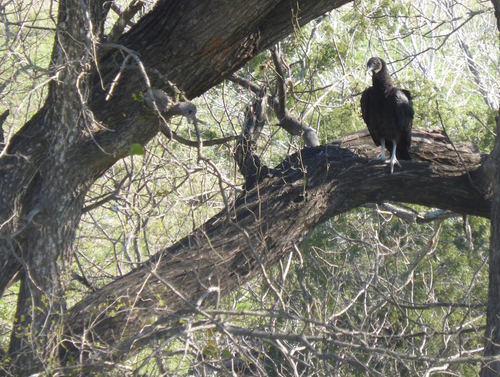
As I looked skywards, a large black bird of prey arced and quartered above my head, catching the up drafts at the top of today’s climb. There was nothing else on the road and not a sound of traffic or human activity from anywhere. It was just me and the bird using the wind and power of muscles to move forward, the wind rushing past his feathers and my wheels. There is simply nothing to beat moments like that. They don’t happen very often, so when they do you have to cherish every moment.
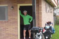
Our day had begun with breakfast at the Day’s Inn – the usual fare of two choices of rather insubstantial cereals, some yoghurt and toasted muffins. The TV was flashing with news of a huge fire at a refinery somewhere in Texas, Donald Trump’s latest insults, directed once again at the late John McCain and the ongoing tittle tattle about naked selfies sent by Amazon boss Jeff Bezos. You’d have thought if anyone had known about the pitfalls of the internet it would have been him.
We headed out onto the Kerrville strip to get back on route, stopping at the police station to hand in a driving licence belonging to a young woman I found last night on highway 16 while having a pee. The desk clerk took some details and an officer came down to collect the card but took no further details apart from saying he’d return it to her.
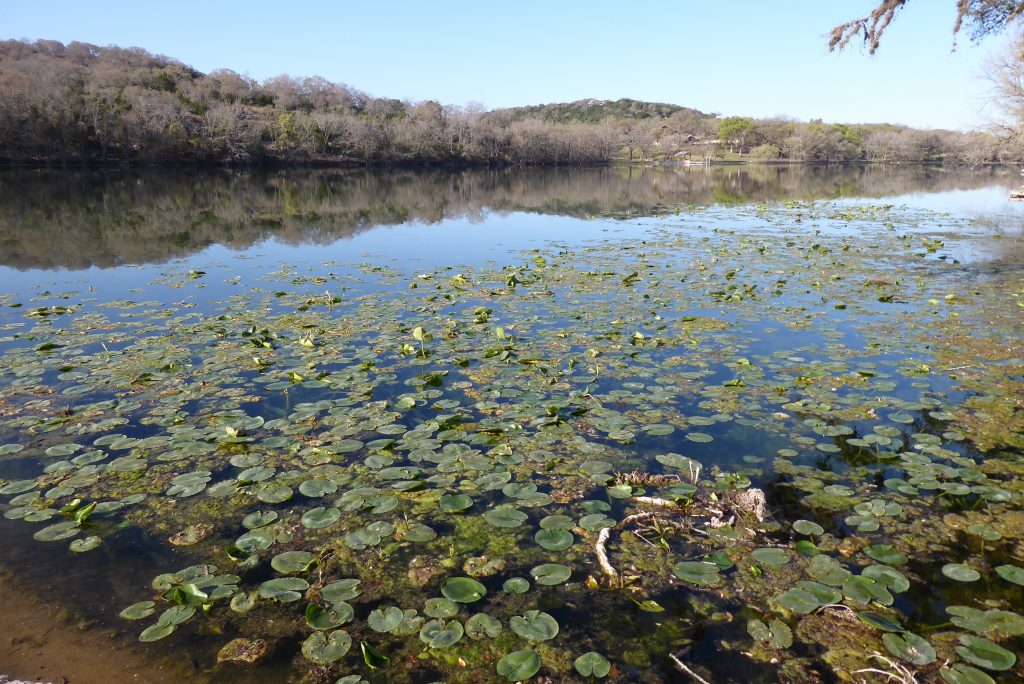
Our first few miles took us through the neat suburbs with large bungalows and churches before we joined the 27 to Ingram and then turned onto Highway 39, a quiet, well-surfaced country road which traced the banks of the Guadalupe River for more than 15 miles. In several places the river was dammed, creating a series of lakes, the water so still that the surface was thick with the dark green leaves of water lillies. It was obviously a great place to fish as well.
Hugging the banks of the river are expensive houses, holiday homes and chalets – it’s clear once the summer season arrives this is a popular destination for numerous activities on the water.
Hunt sits at the meeting place of the North and South forks of the Guadalupe and its population of around 1300 enjoy a spacious town park, a church and The Store, a log cabin one-stop-shop which opened in 1946 and supplies provisions as well as being a restaurant, bank and post office.
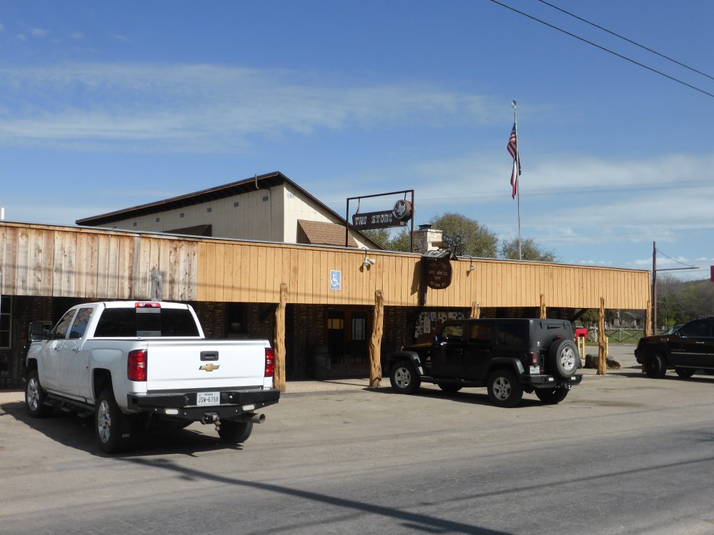
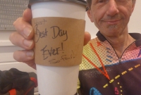
The assistant informed us Hunt was the official half way point of the Southern Tier route (although we found no sign to clarify this) so we added still warm home-cooked chocolate brownies to our order and sat outside and celebrated. “I bet they say that in every town around here,” commented Terry. If it meant more brownies like this, then they could use that line all the way to Phoenix as far I was concerned.
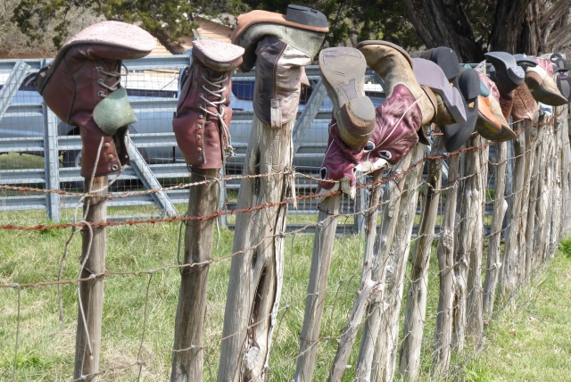
“Back to the early 70s when a Kerr County family began putting the worn-out boots of young buckaroos”.
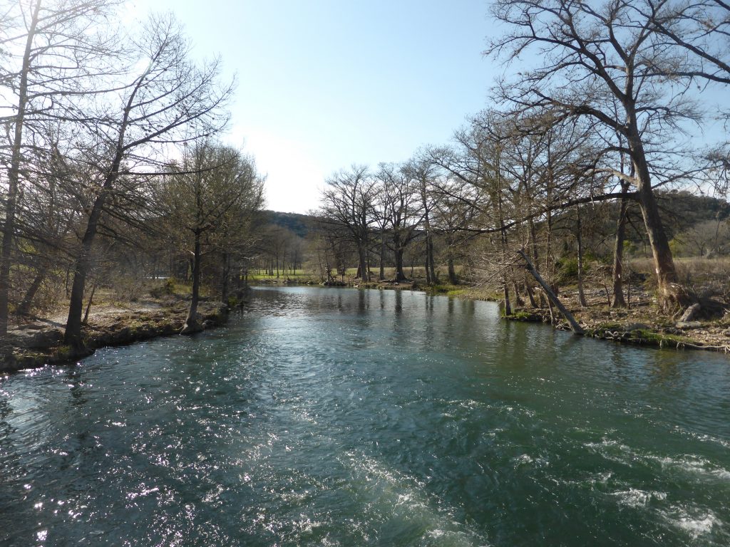
We spent the rest of the day weaving with and around the Guadalupe, climbing gradually upwards towards a vast plateau. At one point west of Hunt we passed a string of fence posts with a single boot on each one. The boot fence went on for quite some distance with scores of upside down boots marching their way along the roadside.
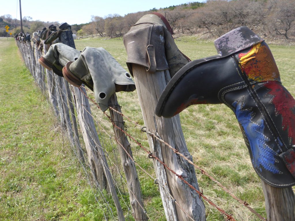
According to ‘Texas Monthly’ the road here is know as Boot Hill, even though there’s really no hill to speak of. The inverted footwear fence can its roots back to the early 70s when a Kerr County family began putting up the worn-out boots of young buckaroos (cowboys) on the fence posts of their neighbour John Jobes. These were followed by the boots of Jobe’s daughters and subsequently his ranch hands.
“Lovely. Best Yet,” said the man who just a few days ago was still contemplating hot footing it to the nearest airport.
Eventually the fence became a free for all, with all sorts of people making it the final resting place for their distinctly Texan footwear. For a few seconds we considered hanging up our cycling shoes, but they looked kind of weird next to all that leather and branding and besides which we’d actually been enjoying the Southern Tier for quite a few days now. Even Terry agreed with my optimism. “Lovely. Best Yet,” said the man who just a few days ago was still contemplating hot footing it to the nearest airport.
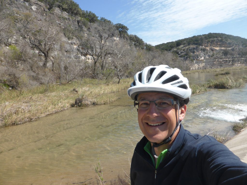
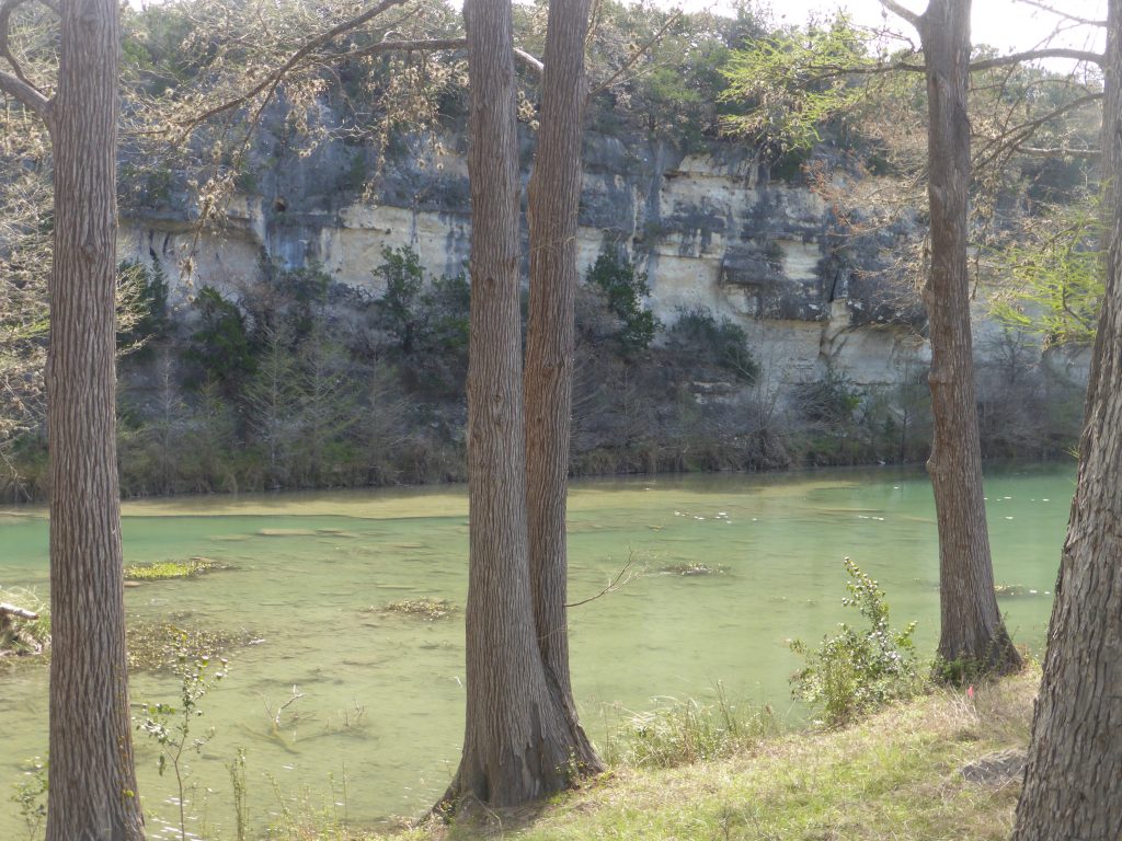
The scenery became more dramatic as we rose, 30 metre plus cliffs on the far side of the river and then a low river crossing which was bone dry – the river disappearing into the limestone bedrock and then reappearing further downstream.
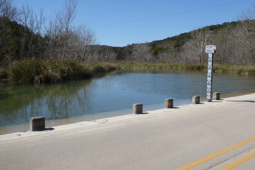
We continued to cross a series of low water marks and the markers beside them showed how quickly these benign streams could transform into raging torrents. If that happened then the ride would be over and we’d have no choice but to chuck the bikes in the back of a pick-up and get away from the floods toot sweet.
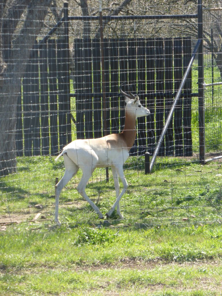
We passed several ranches which covered areas so vast they would have swallowed up several counties back home and also spotted some curious impala or antelope, which we were pretty sure were non-native to North America. It crossed our minds that they were there for one reason only – hunting.
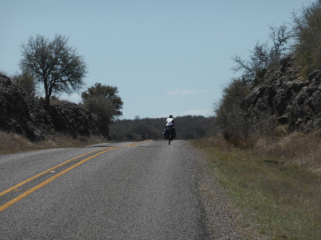
To continue west we needed to leave the Guadalupe valley and go over the watershed into the next river system. As we gained height and became more exposed, the headwind hit us, slowly wearing us down and beginning to take the edge off what had been a great day’s ride.
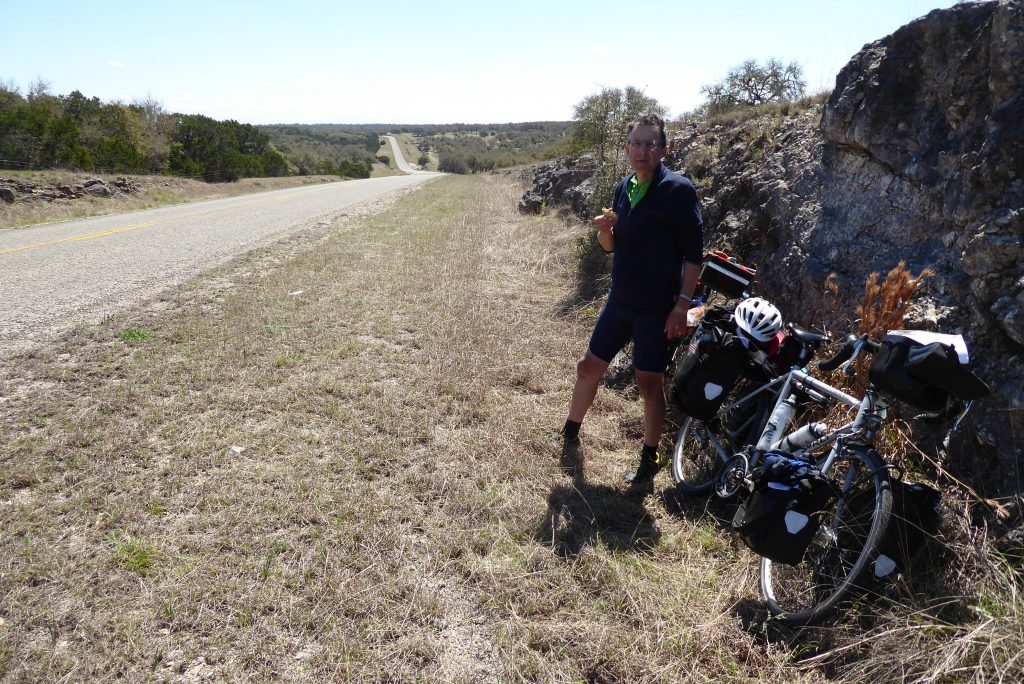
At about 40 miles in we topped out at a county line and two things happened simultaneously – the road surface got worse and we decided it was high (in all senses of the word) time for lunch. A squashed and flattened loaf was dug out of the bottom of Terry’s pannier and slices were liberally smothered with crunchy peanut butter. And then we ate what was supposed to be that night’s pud as well. Guess it saves carrying it.
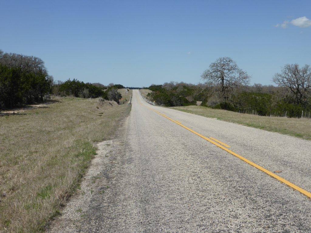
Of course, a watershed is rarely a definite ridge, and this one turned out to be a vast five mile undulating plateau with an ever increasing afternoon headwind. The views across the top revealed what seemed to be endless scrub with the occasional cow or deer … and a comms mast in the distance. That must be the highest point. Surely?
The drop down into the valley after lunch took far longer than we had anticipated and, curiously, also threw some challenging climbs at us. Incredibly, we’ve been climbing steadily since leaving Bastrop around five days ago. At that point we were at around 400ft above sea level. Austin took us up to around a thousand and we were now approaching Vanderpool at 2,000 feet.
“Pedalling downhill at little more than 9mph is just about the most frustrating thing that can happen on a bike”.
As we descended the ridge past the hills and canyons of the Lost Maples State Natural Area our speed hit 32mph. But then we slowed abruptly as the headwind kicked up still stronger and we found ourselves pedalling downhill at little more than 9mph, which is just about the most frustrating thing that can happen on a bike, bar a puncture.
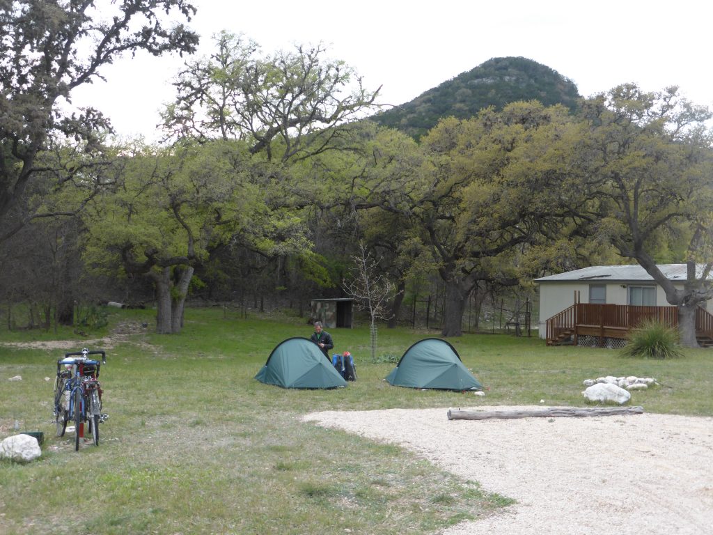
Knowing there were still several steep peaks to traverse we were offered a campsite by the staff in a general store in Vanderpool for just $10 a night. We needed no further persuasion, so we downed a couple of coffees and set up camp in the quietest and most scenic RV site we’d yet encountered.
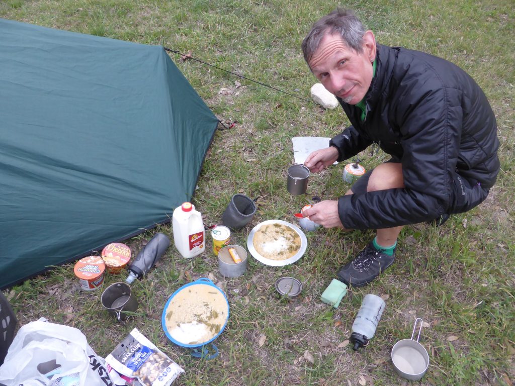
A gourmet meal of ramen noodles mixed with green beans and mushroom soup followed by a tin of peach halves followed and we were in our tents listening to the chirrup of the crickets by just after eight.
Today’s miles: 54.17
Total miles since Anastasia State Park: 1517.46