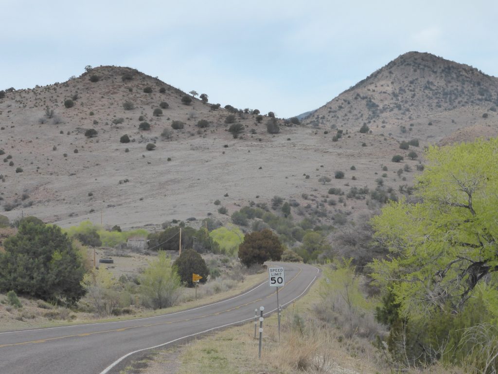
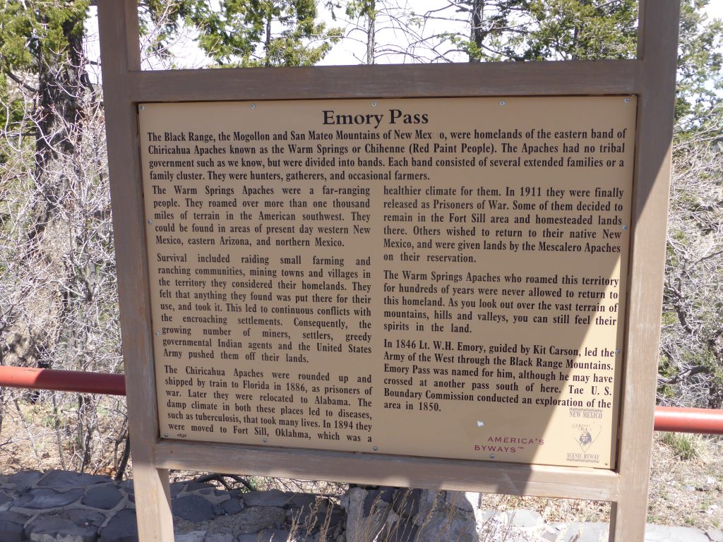
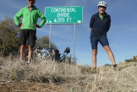
Today was always going to be about climbing, because 16 miles into today’s ride lay the Emory Pass on the Black Range, at 8,228ft by far the highest point on the entire Southern Tier.
The key to riding a big climb is to get there early, before the sun is up, and pedal during the cool of the early morning. So of course we did our best to avoid starting out for as long as possible.
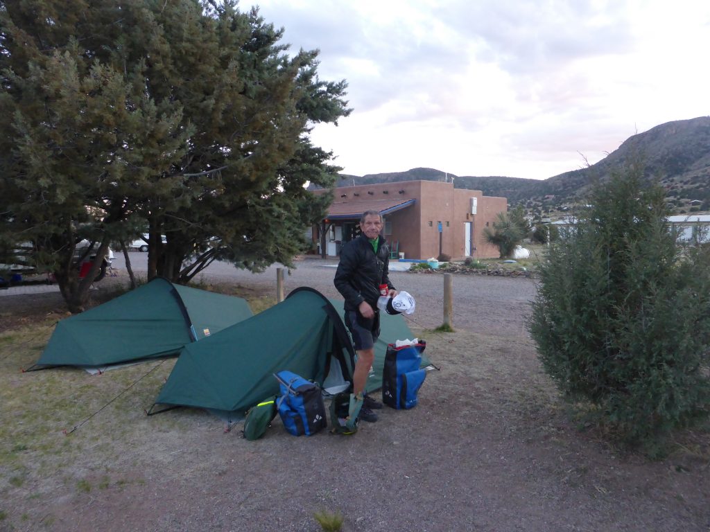
The town park at Hillsboro proved to be a great find and fortunately by the time we got up the vultures had flown the roost, although Greg, who hails from Cincinnati and Dennis, from Massachusetts, were up already and brewing up coffee.
“The longer you take to get going, the more time you have to regret your dawdling during the glaring heat of the afternoon”.
It’s interesting to compare different cyclist’s routines in the morning. I like the idea of having a brew, but it all takes time and the longer you take to get going, the more time you have to regret your dawdling during the glaring heat of the afternoon.
Which is in complete contrast to how we’d spent the night. It had been another cold one and although not as bad as the previous night, I’d still changed into long cycling shorts during the small hours and added a thermal base layer underneath my cycling top and fleece. Despite two pairs of socks my feet were still cold. Terry’s top tip is to keep them off the floor – maybe propped up on a pannier – which I’ll try tonight.
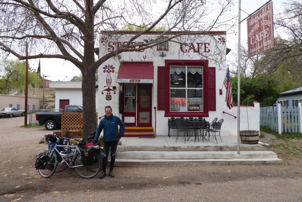
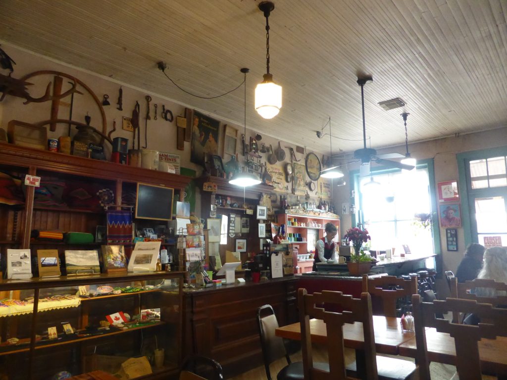
Having been told the night before by the local wife dodger that the local diner didn’t open until 9am, we breakfasted on bagels with peanut butter and banana before heading into the village – only to discover it had opened at 8am! We had broken the golden rule – never take directions from a local, nor ask them about opening times! Frustratingly the food looked excellent, but we made do with a swift coffee and then set off to finally start climbing.
We were sorry to wave goodbye to Hilsboro. The town’s a popular tourist spot and it’s certainly got a frontier feel to it, which isn’t suprising considering its history. First established in 1877, when gold and silver was discovered in the Black Range, it was always going to have a troubled start located as it was slap bang in the heart of Apache country.
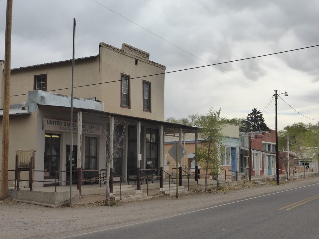
Understandably, the Native Americans took umbrage at the presence of miners on their land and clashes were inevitable. Skirmishes and attacks intensified in 1879 during what was called Victorio’s War. In one incident ten Hillsboro citizens were killed near Lake Valley.
“He’s acknowledged as being one of the best guerilla leaders of the Apache Wars”.
Chief Victorio, facing arrest and forcible relocation from his New Mexico home to the San Carlos Indian Reservation in southeastern Arizona, led a guerilla war against the U.S. and Mexican Army. He’s acknowledged as being one of the best guerilla leaders of the Apache Wars.
As a result of the frequent attacks and constant harassment by Apaches, soldiers were sometimes deployed on the outskirts of town to protect the settlers, although there was never a permanent military camp. Despite the odds being stacked against it, by 1884 Hillsboro had become the county seat, complete with a red brick courthouse.
As we climbed up the valley towards Kingston, another ex-mining town, and past the waters of the Percha Creek, it wasn’t hard to imagine Apache raiding parties coming down from the surrounding hills and ambushing the propectors as they panned.
Despite the bloodshed, I always find myself having more sympathy with the Native Americans, who were fighting for their homeland. Being sent to Arizona may as well have been the moon as far as they were concerned and the reports they’d heard of living conditions at the San Carlos Reservation were not good.
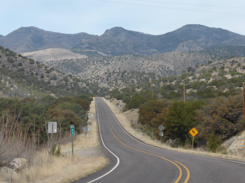
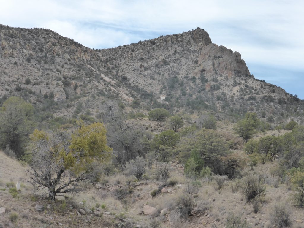
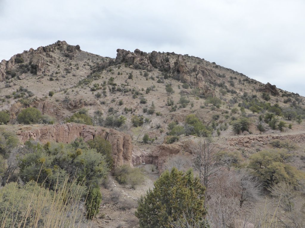
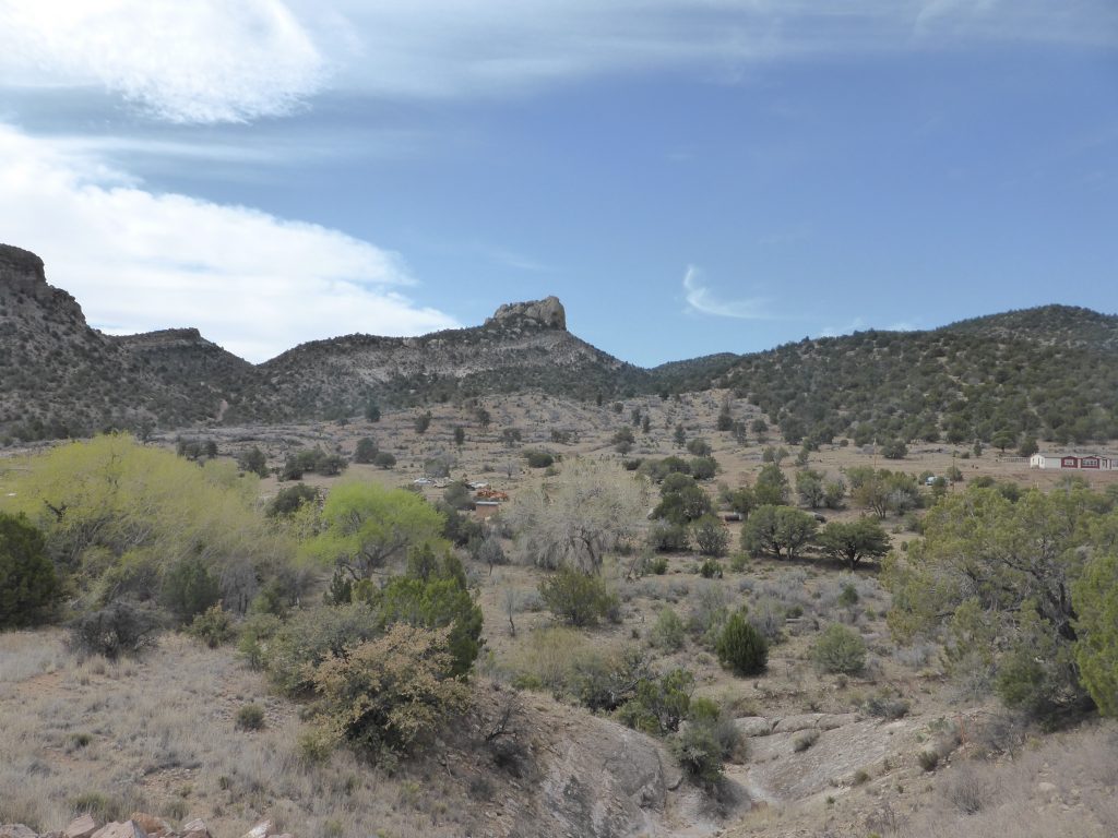
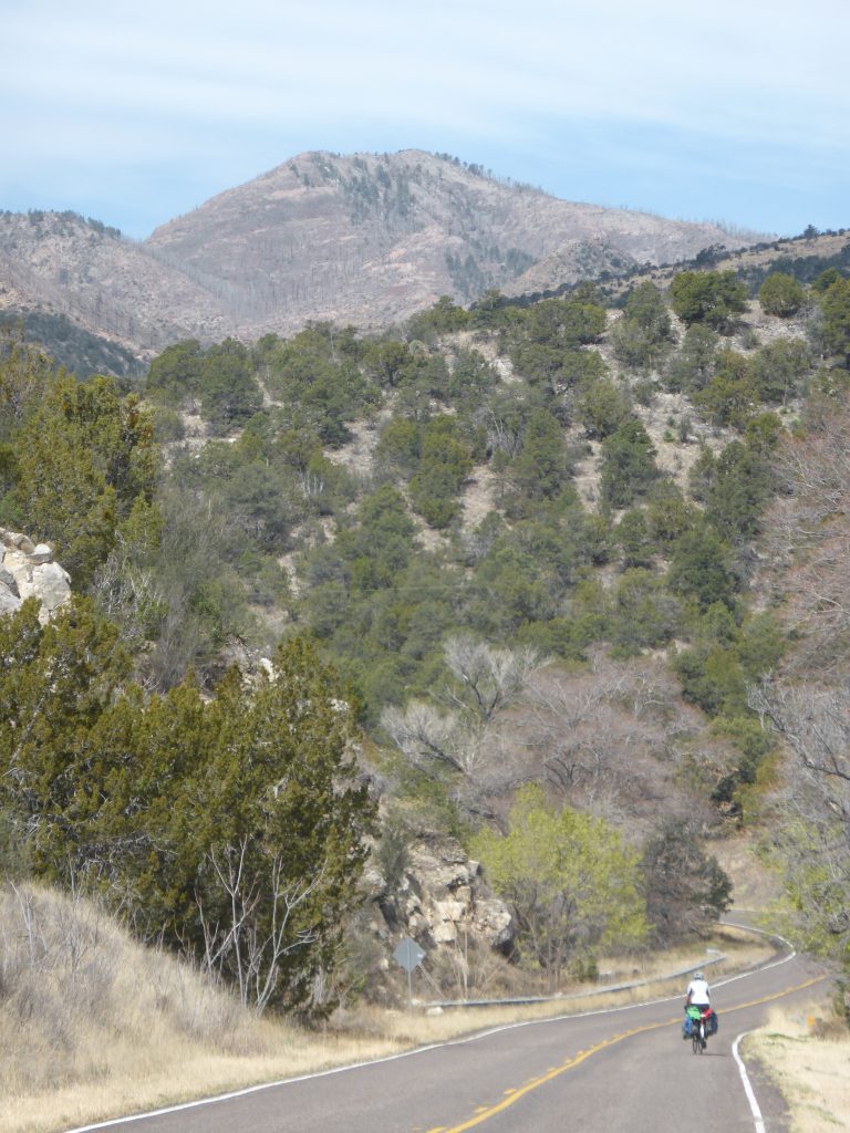
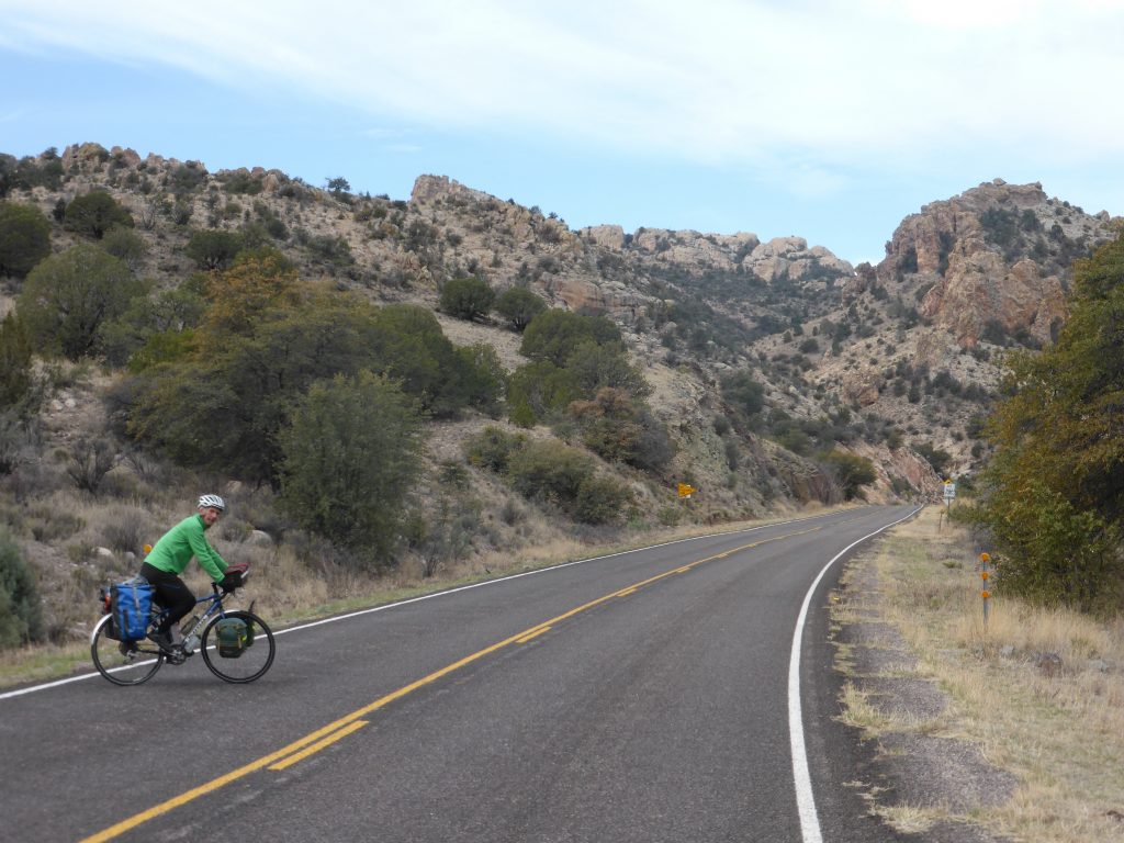
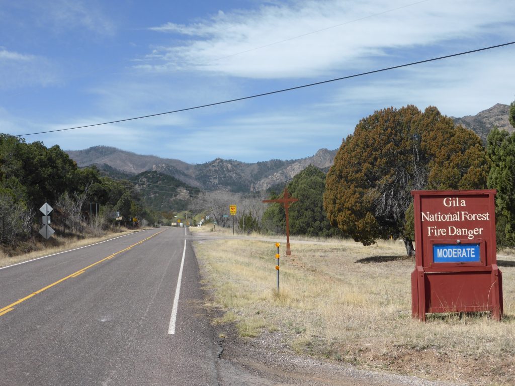
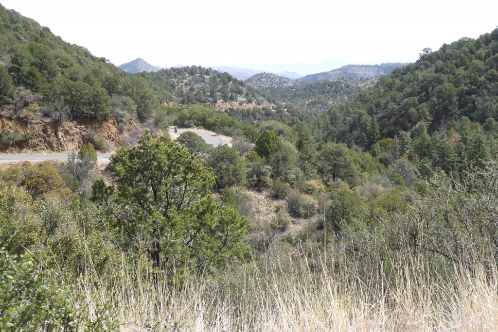
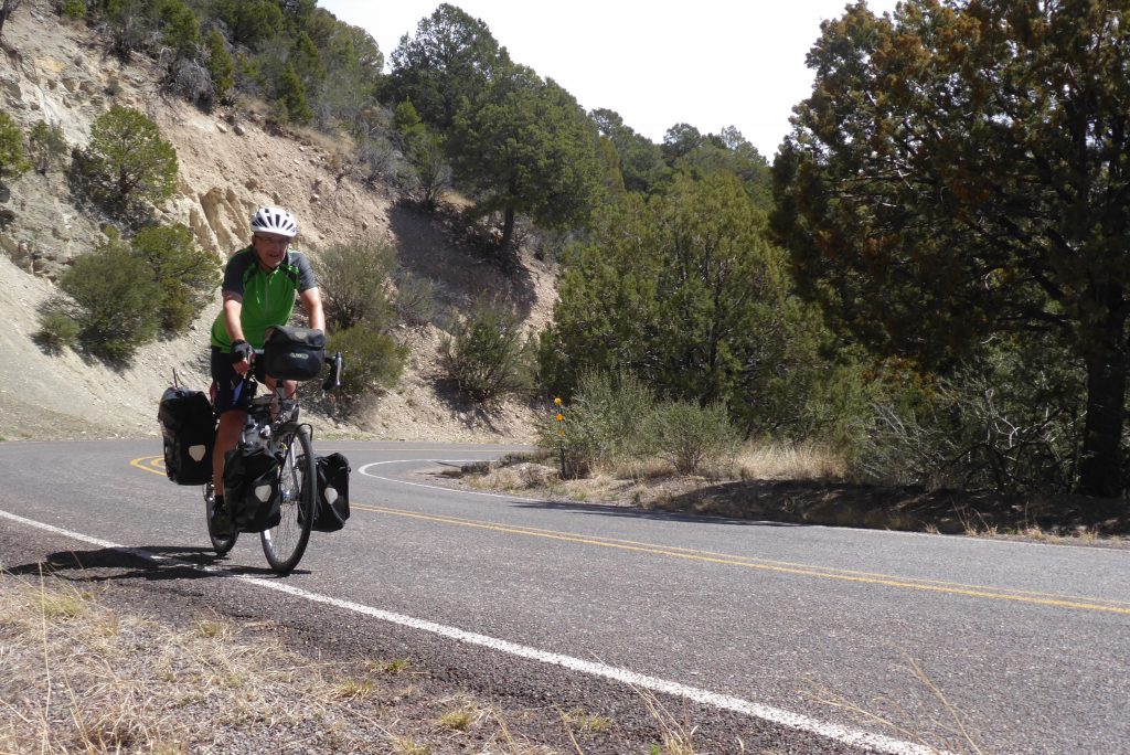
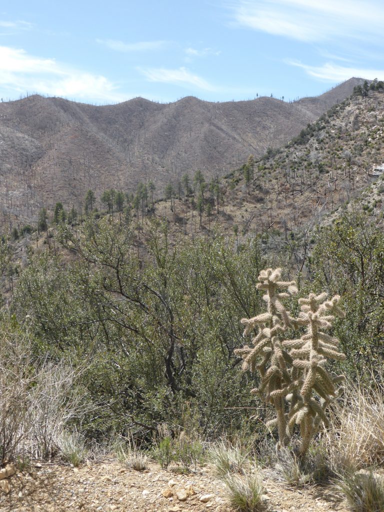
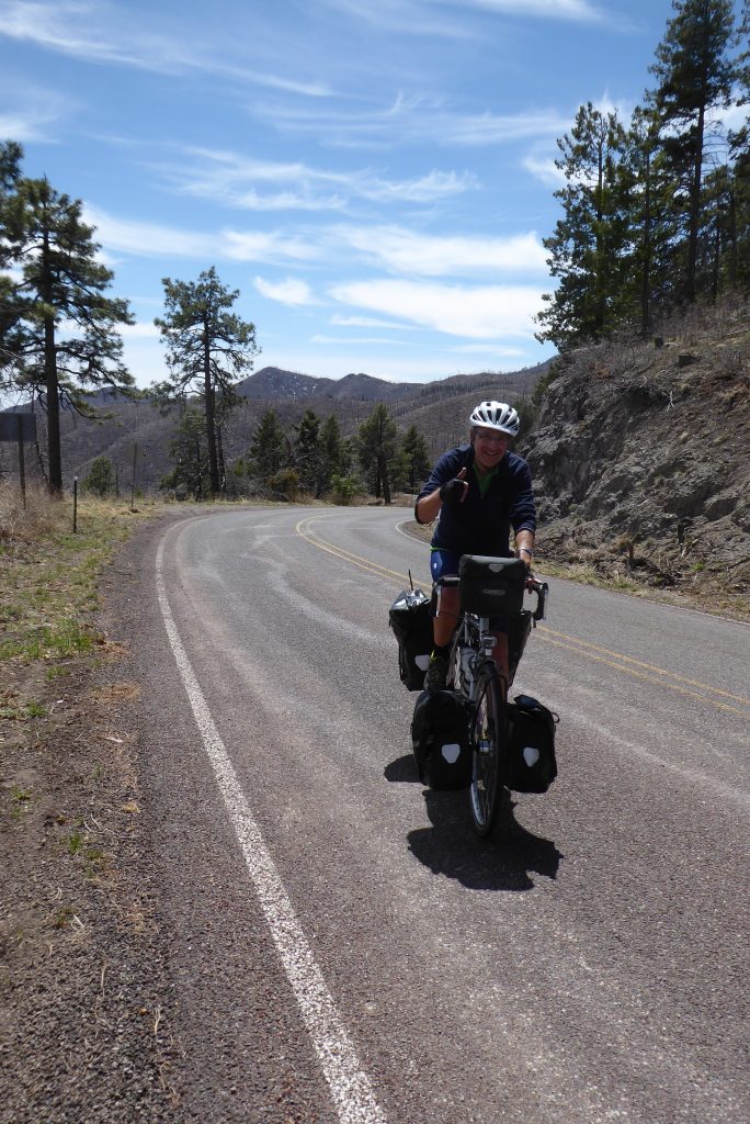
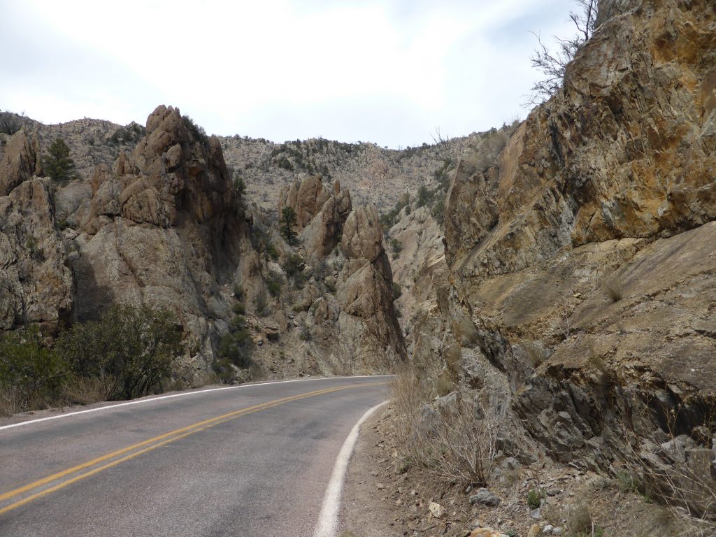
The climb up to Kingston was relatively gentle, but as soon as we entered the Gila National Forest the gradient really kicked up. With the sun on our backs, but facing a cold blustery headwind, going was slow and hard … yet the jagged peaks and deep drops were getting ever more dramatic and impressive. Further up was evidence of the fire that went through the Gila National Forest in 2013 … bare trees still standing or lying every which way on barren hillsides.
The cold of the morning quickly wore off and while we started in longs and multiple layers we were quickly down to just cycling shorts and a single top. Fortunately the traffic was light, so despite the steepness and numerous switchbacks, it was just a case of grinding it out, mile by mile, with plenty of room to ease the gradient by weaving from one side of the road to the other.
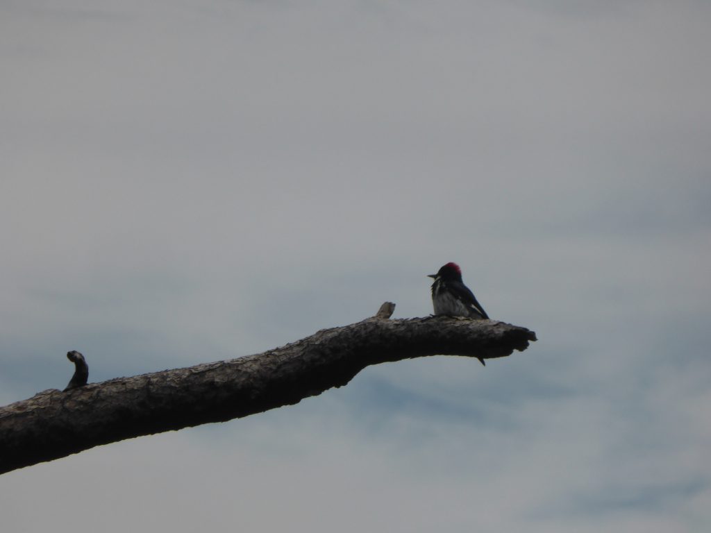
At first I just enjoyed the tranquility of the climb – silent apart from the sound of birdsong – but as the climb got harder I switched on some podcasts to help pass the time and take my mind off my tiring legs.
“We were so high up there were even remnants of snow on the shaded slopes”.
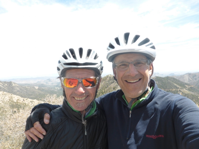
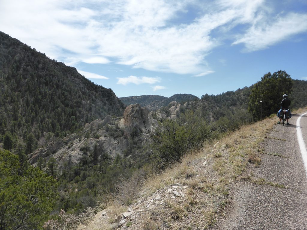
Terry was ahead of me, but not by too much and occasionally I’d spot him rounding the next hairpin, or climbing above me. We were so high up there were even remnants of snow on some of the shaded slopes.
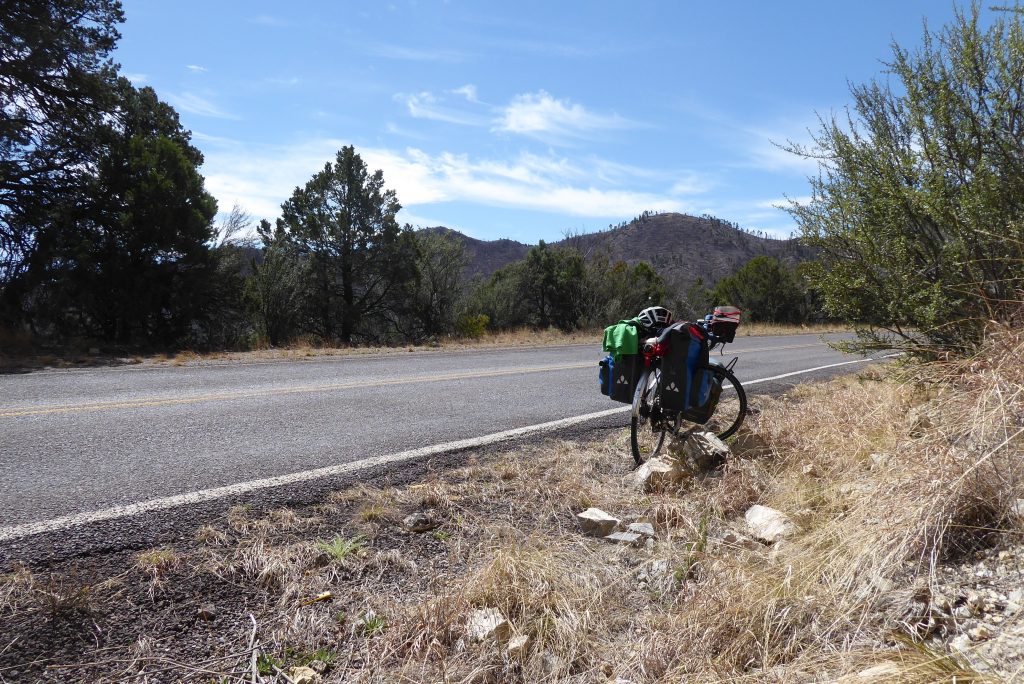
A sign at the entrance to the Gila National Forest informs you the Emory Pass is a 30 minute drive away. Not on a bike it isn’t – and particularly on ones laden down with tents, cooking gear and cycling attire.
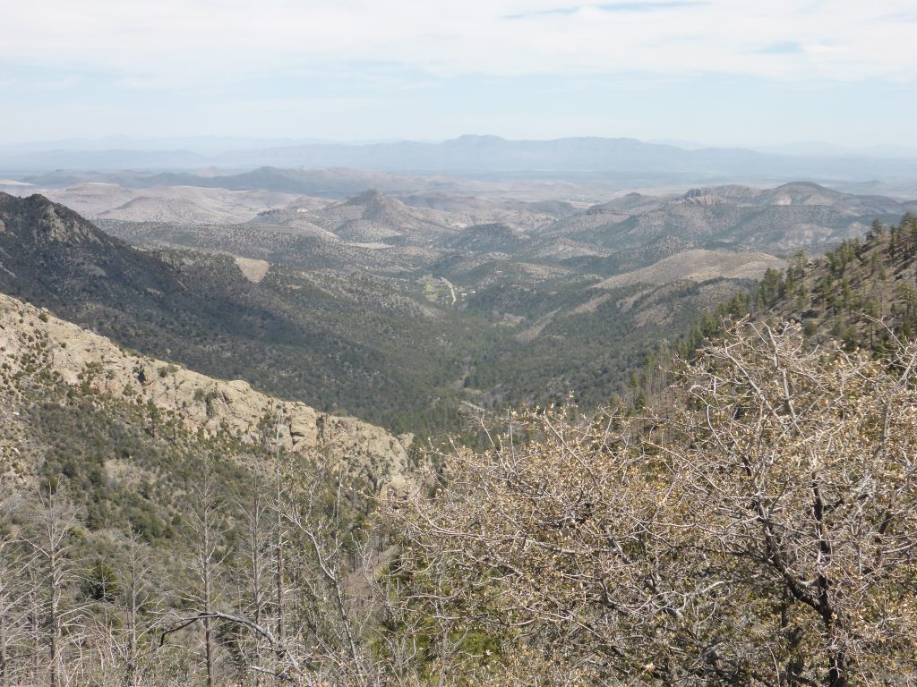
Passing more sites of Victorio’s battles on the way, it took us nearly three and a half hours to reach the viewpoint, by which time we’d risen 3,000ft since leaving Hillsboro. It was definitely worth the climb. There really is something very special about reaching a peak using only the power of your legs
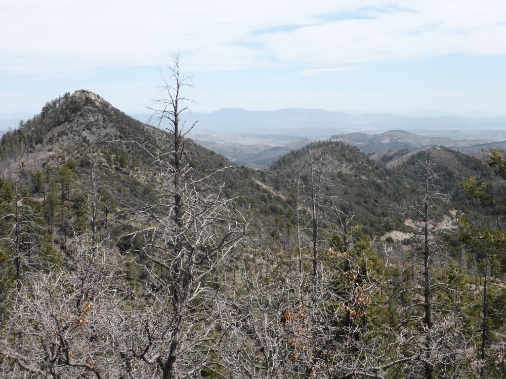
After gazing at the view and spotting Kingston, like a tiny toy town below us, we lunched on Clif bars and trailmix, and took a few photos – although they never do climbs like this justice.
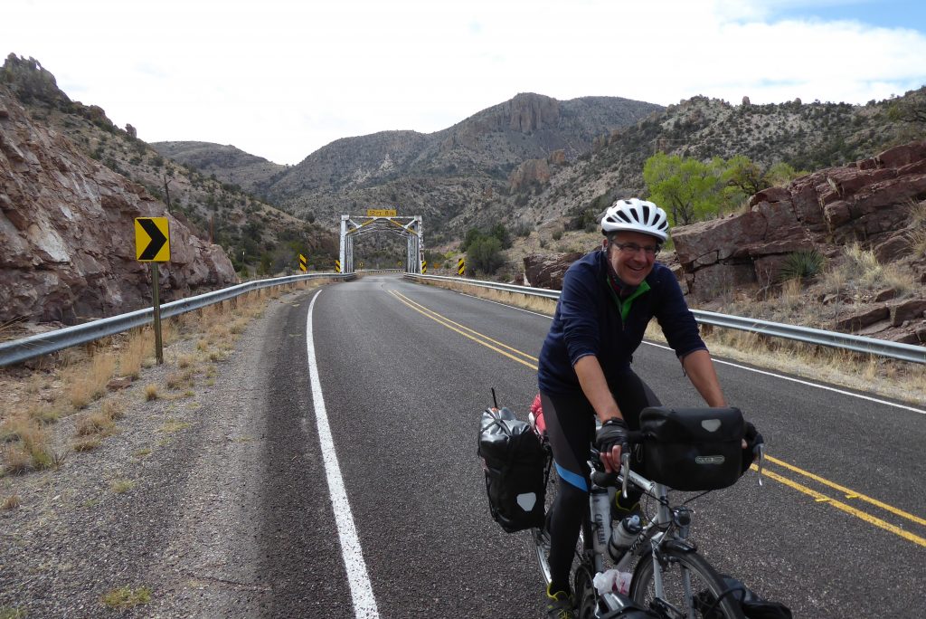
Then we popped our Rab jackets back on (it’s cold above the snowline) and set off down the other side, following the Percha Creek and keeping our hands (toasty and warm in our dollar general gloves) firmly over the brake hoods.
Although a headwind did its best to thwart our descent it was still essential to keep control and not overcook the hairpins – especially since at some points there were sheer drops straight off the mountain side.
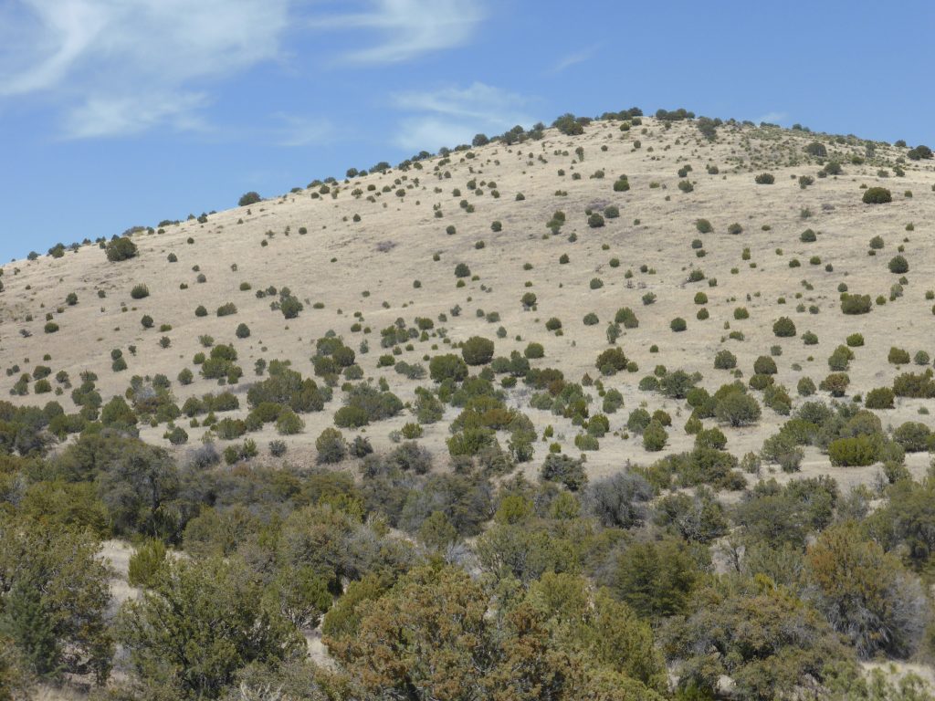
While descending, Terry’s sharp eyes noticed that several of the State Park campsites were still closed due to uncleared debris from the fire six years ago, and a slight risk of flash flooding. Twelve miles of a hairpin-laden downhill later, the road straightened and the landscape opened up into a wide valley.
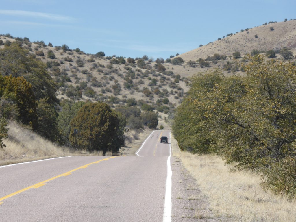
By this time it was clear we were not going to reach Silver City – still 30 miles away – and we were pretty exhausted. Terry, lulled into la la land by the sun on his back and the exertions of the morning, had to pull over on the descent as he was in danger of falling asleep. He told me this had happened once before, although at that time alcohol had been involved and he’d ended up cycling down a wide shallow storm drain next to the road.
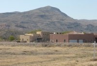
So instead of carrying on, we ducked off the route to San Lorenzo and then cycled into the Mimbres River Valley to find the excellent ‘Restaurant Del Sol’ where we had a quick coffee, before checking into a superb RV park – Mountain Spirits – which cost just eight dollars each, had grass to put up our tents on, spotless showers (with free towels and soap) and a laundromat. We could have danced for joy.
“So after stripping off in the laundry, Levi’s advert style, (steady girls!) we threw everything into the washer”.
Over the past few days we have ridden – and slept – in our cycling clothes and haven’t showered or shaved in days, so after stripping off in the laundry, Levi’s advert style, (steady girls!) we threw everything into the washer, showered and, finally smelling human again, headed back to the Restaurant Del Sol for dinner.
We really had landed on our feet and we slept with not a vulture or Apache in sight.
Today’s miles: 35.88
Total miles since Anastasia State Park: 2,251.84
The last time I was in the Gila National Forest was probably 1987. I remember it as a beautiful place. We hiked and camped there. I remember waking up in my tent one morning to the sound of bells and finding that we had camped amidst a small herd of cattle! I also remember visiting the Anasazi ruins in the area. Good Times.