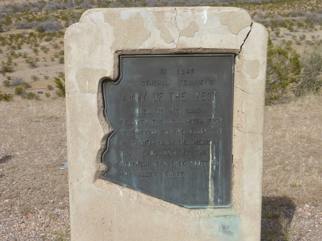
If you were wondering why we quoted King Lear at the end of yesterday’s blog then, aside from the references to the wind, it was to pay tribute to our nightstop – Lordsburg (population 3,195). Founded in 1880 on the route of the Southern Pacific Railroad and near the route of the Butterfield Overland Mail statecoach service, Lordsburg grew to absorb most of the population of Shakespeare, a now deserted mining town three miles south. You see, this blog isn’t just thrown together!
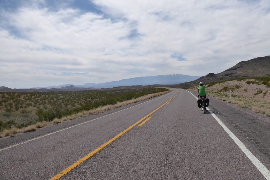
Today the Southern Tier delivered in spectacular fashion. Our route took us further across the vast plain we’d ridden through the night before and before long we’d entered our seventh state – Arizona – which rapidly took the prize for the most impressive scenery of the route so far. And there was another surprise too – the wind had gone!
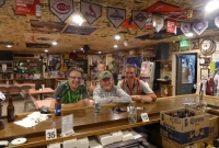
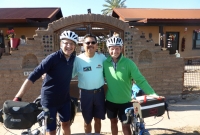
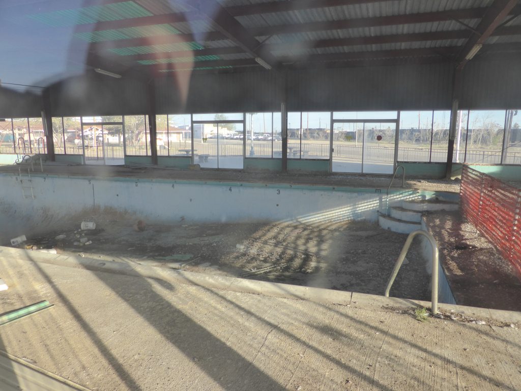
Arriving last night as the light was failing we’d not had much time to appreciate the delights of Lordsburg, but looking around in the morning we found we’d probably had far too much. The road we were staying in was called Motel Road, but it was hard to see what might be pulling in the punters. Certainly not anyone interested in swimming, as our hotel pool was derelict.
Terry, always the optimist, pointed out that Lordsburg did in fact have three attractions – a big shiny Ford showroom, a train junction – and a way out. Fuelled up by bowls of bran flakes and banana (Terry managed several) we decided to take the third option.
“The chances were that most of the shopping action had moved up to Interstate 10”.
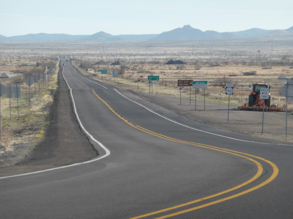
Leaving town led us past the usual row of deserted shops and the chances were that most of the shopping action had moved up to Interstate 10 which doglegs up to Lordsburg before heading west to Tuscon, or east to El Paso.
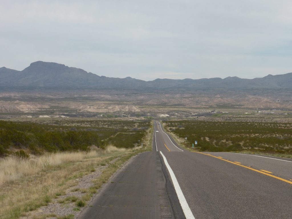
We left town heading north west in the direction of Duncan, passing yellow school buses as they did their rounds picking up the local school children. Soon we were back out again on the plain – a long straight road, the 70, that went on for more than twenty miles.
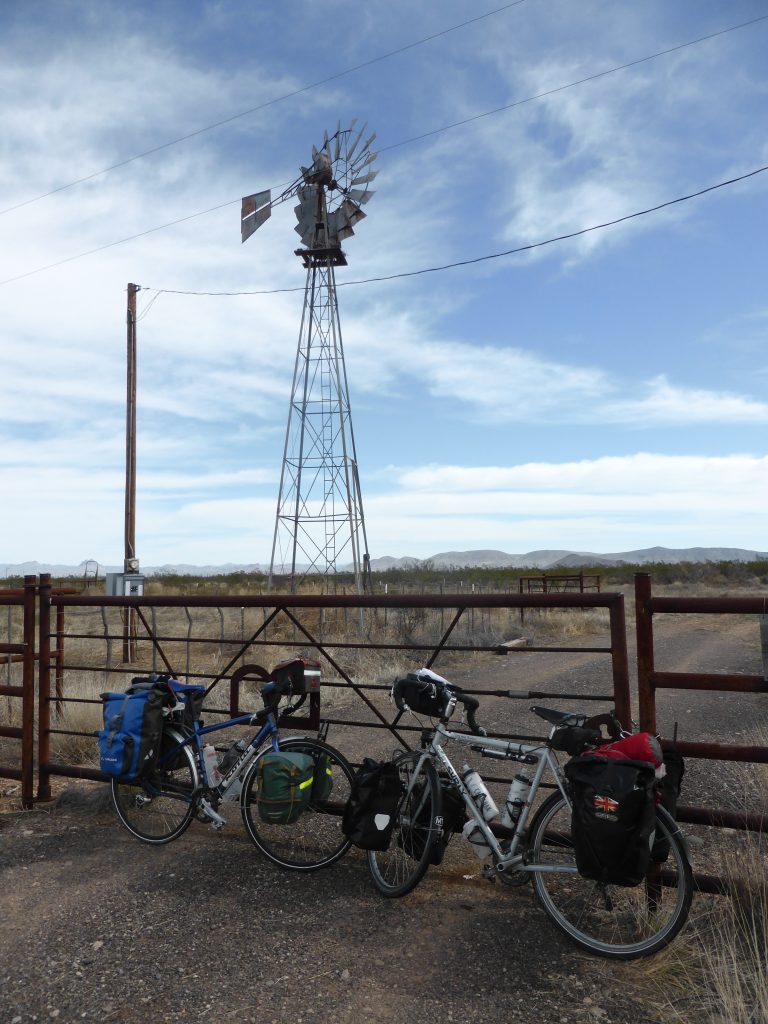
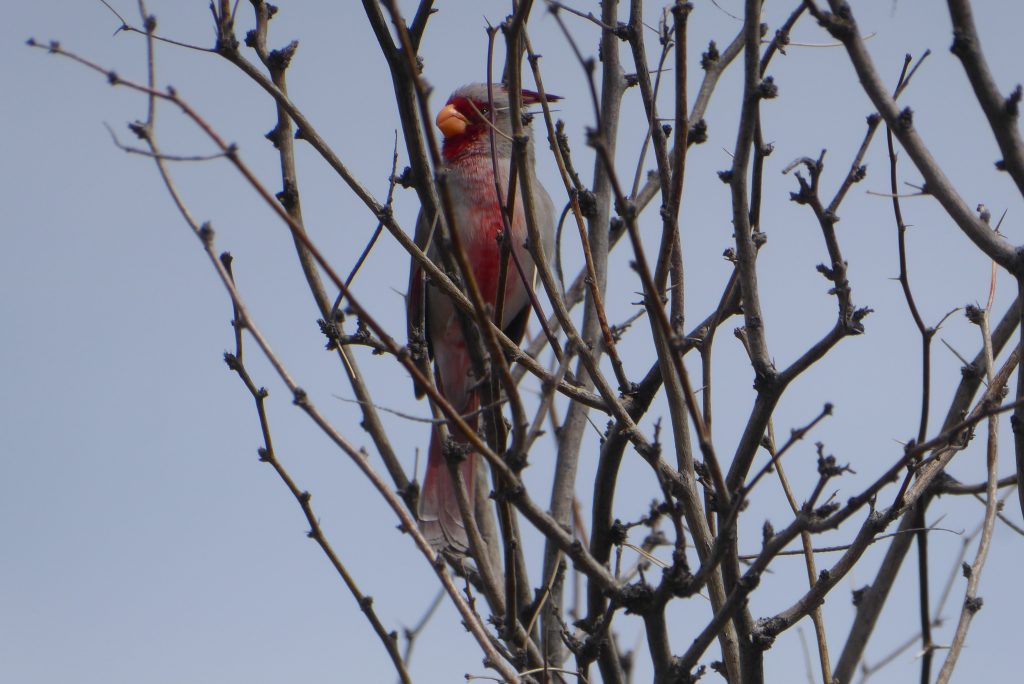
It’s easy to think these seemingly featureless landscapes are devoid of life, but cycling gives the perfect opportunity to take a much closer look. Plentiful birdsong reveals numerous small birds flitting through the bushes and at one point we spotted a large harrier quartering over a dry wash (a dry creek). Its nest could have been the bundle of twigs spotted high up in a squeaky water pump tower.
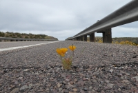
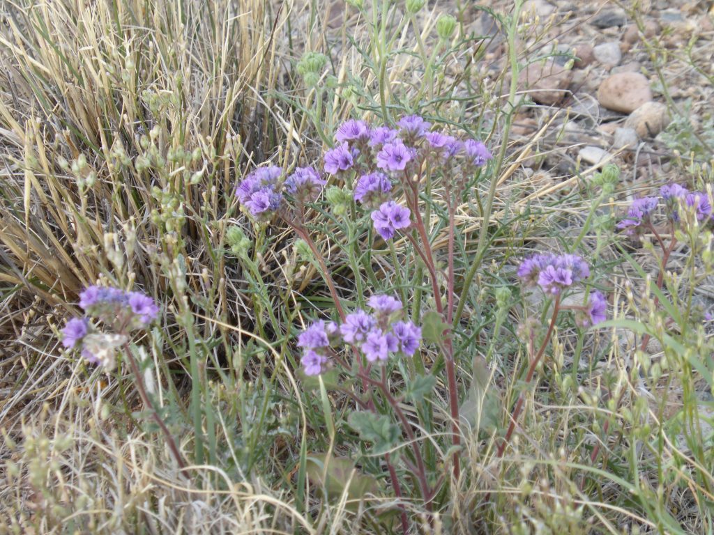
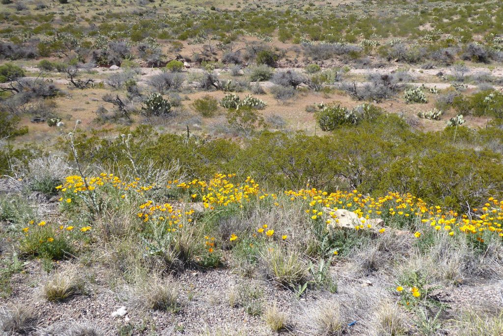
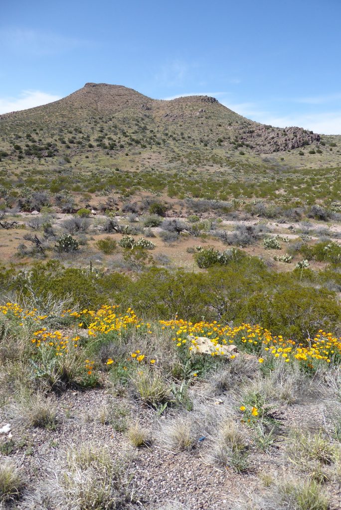
We passed masses of low spring flowers, small inconspicious birds flitting from bush to cactus, a few deer. Today proved a rich hunting ground for seeing roadrunners – we spotted three of them by the roadside – one of them putting on a tremendous spurt of speed – clearly demonstrating the reason behind its name. Beep beep!
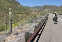
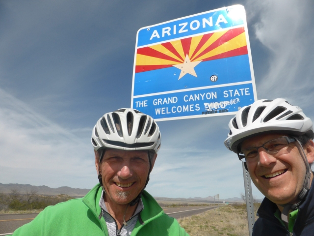
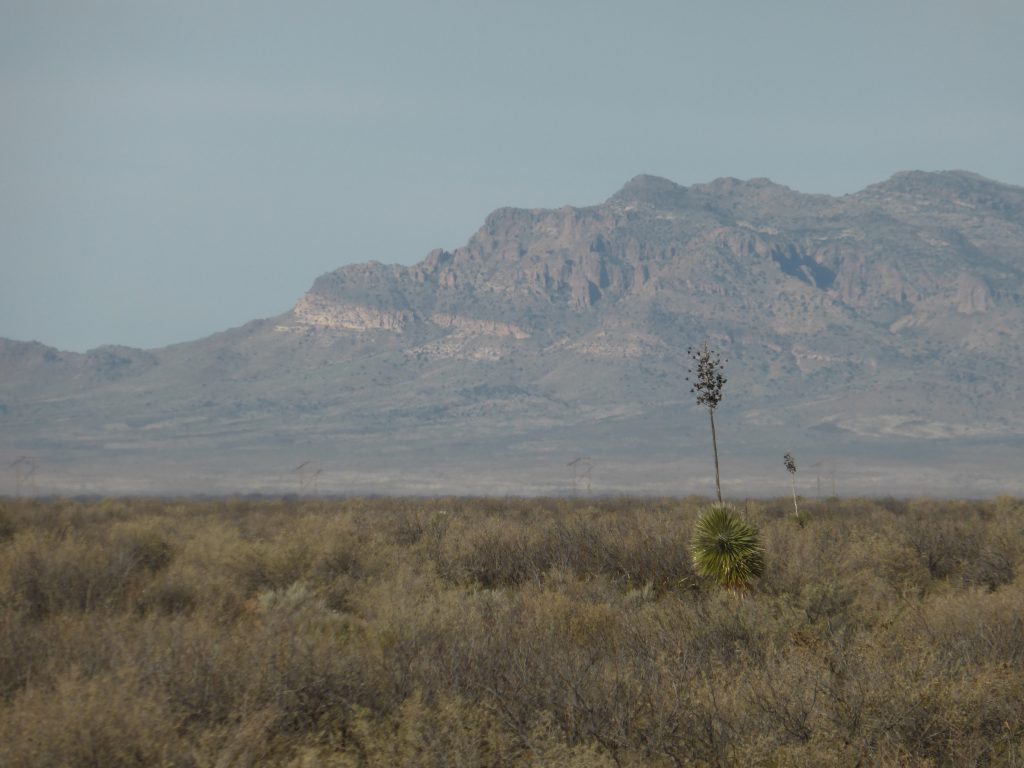
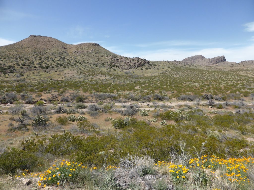
Twenty seven miles in we crossed the border into Arizona and that was New Mexico done. There was an immediate change in landscape, gone was the flat plain, to be replaced by much more undulating terrain. The large cacti we’d last seen in Texas appeared again, the lower altitude obviously suited them better.
But what about the obligitory photo by the state sign? Sadly, after seven states, we’ve still got not better at trying to take selfies and there’s never anyone around so to do it for us, so we wasted quite a bit of time while I lay in the dirt trying to frame a shot which would include the sign, Terry and myself. That’s if I was able to get up and dash back by Terry’s side quickly enough – and then look like I’d been standing there calmly all along.
Fortunately for us Arizona does not observe Daylight Savings Time so we were able to set our watches back an hour, giving me even more time to wallow around fiddling with timers and apertures. Despite all this I still managed to look gormless.
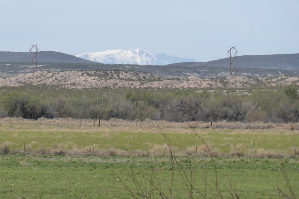
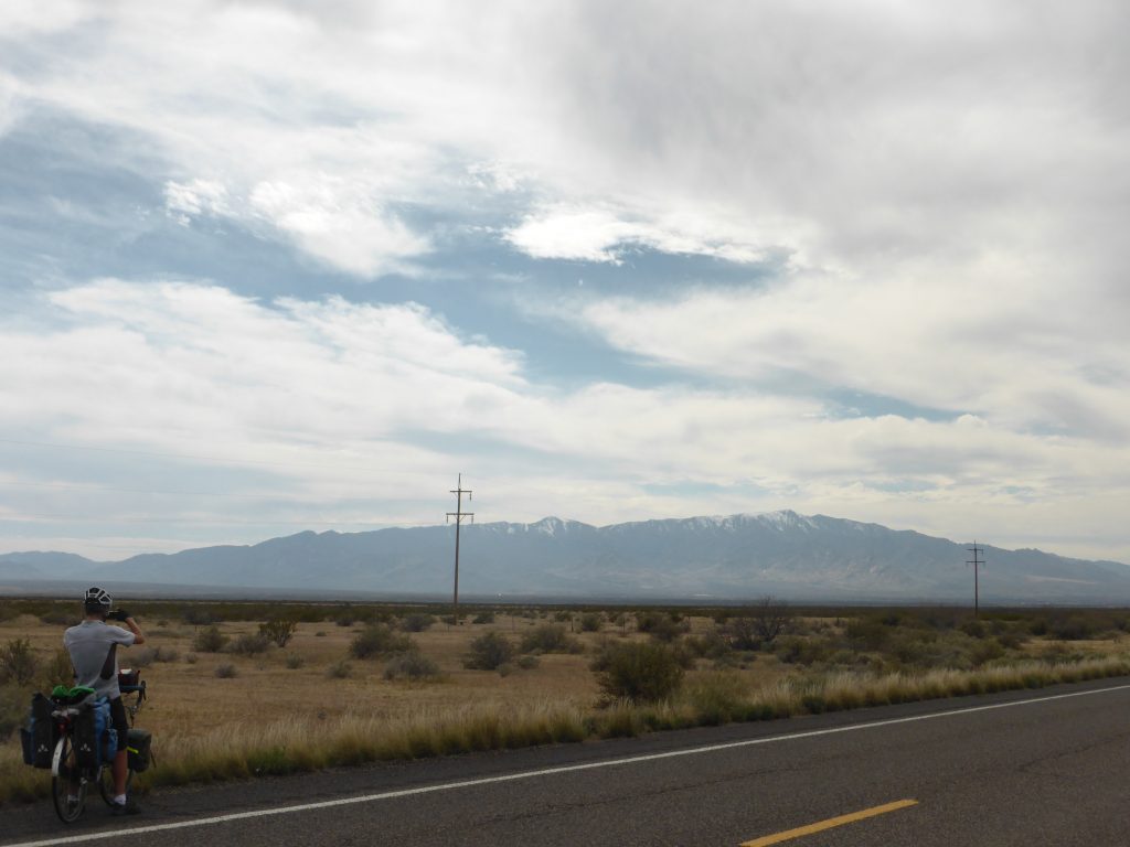
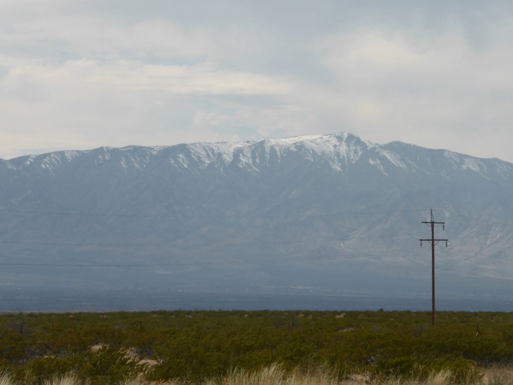
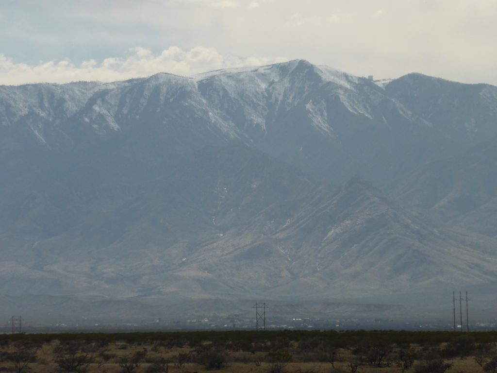
Truth was there were far better photos to take – such as the clear views of the snow capped peaks of Mount Graham, which had been making tantalising appearances in the distance all day. Standing at 10,724ft the mountain is considered sacred by Native Americans.
“That’s still more squirrels than west bound Southern Tier cyclists we’ve encountered”.
It is also home to the endangered Mount Graham Red Squirrel which may now number less than 50 individuals. Mind you that’s still more squirrels than west bound Southern Tier cyclists we’ve encountered. Go squirrels!
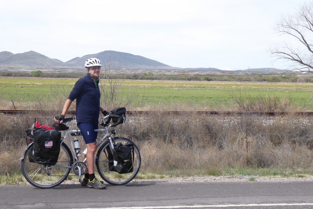
Still effectively cycling downhill since the Continental Divide and with barely any wind at all, we coasted into Duncan, a town of 765 people on the Gila River, for what would now be an early lunch – 32 miles by 11 o’clock. What a change from yesterday!
Our perennial mistake when arriving somewhere new is to let our (ok, my) stomach make all the decisions. This usually means diving into the first place we see. That works out ok most of the time because there’s rarely more than one place to choose from, but today we remembered to cruise up and down the main drag to check out the action first.
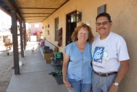
We chose the Ranch House over the gas station, which was a good call. They were offering an all-day breakfast (hence a happy Paul) and had an extensive salad bar (so therefore a smiling Terry).
Like so many small towns, Duncan has struggled with the arrival of the nearby interstate, but talking to some of the locals outside the Ranch House it seems the town is pulling itself up by its bootstraps following decades of decay.
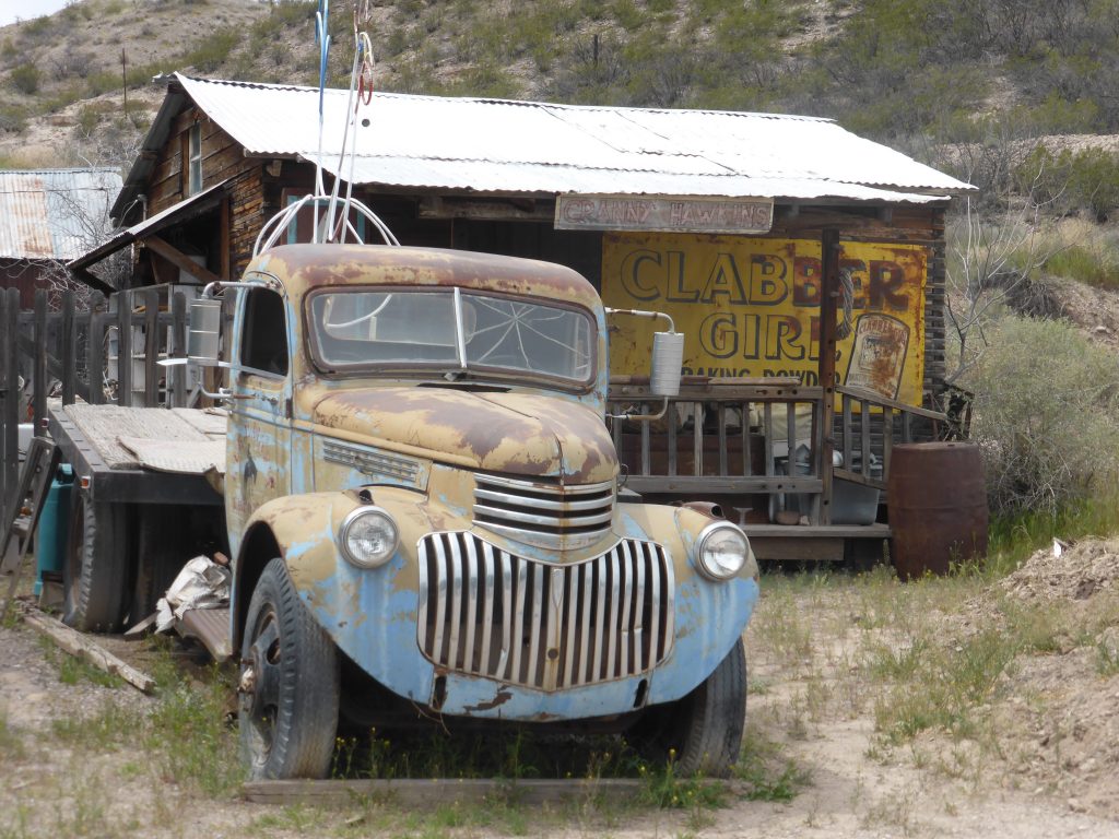
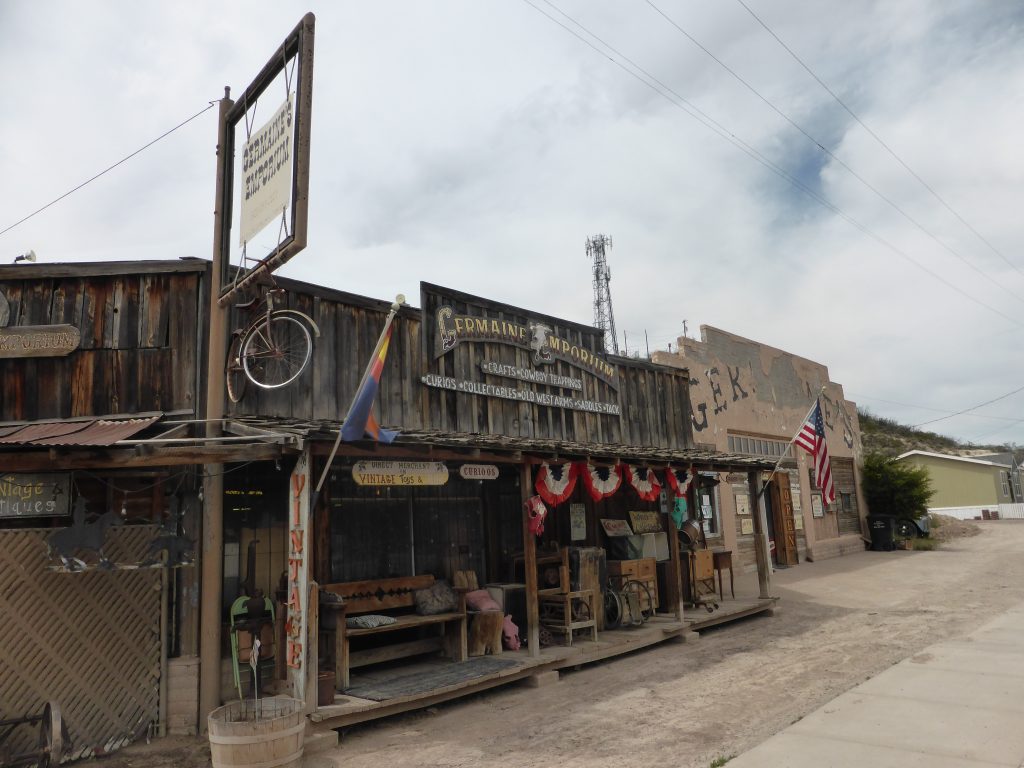
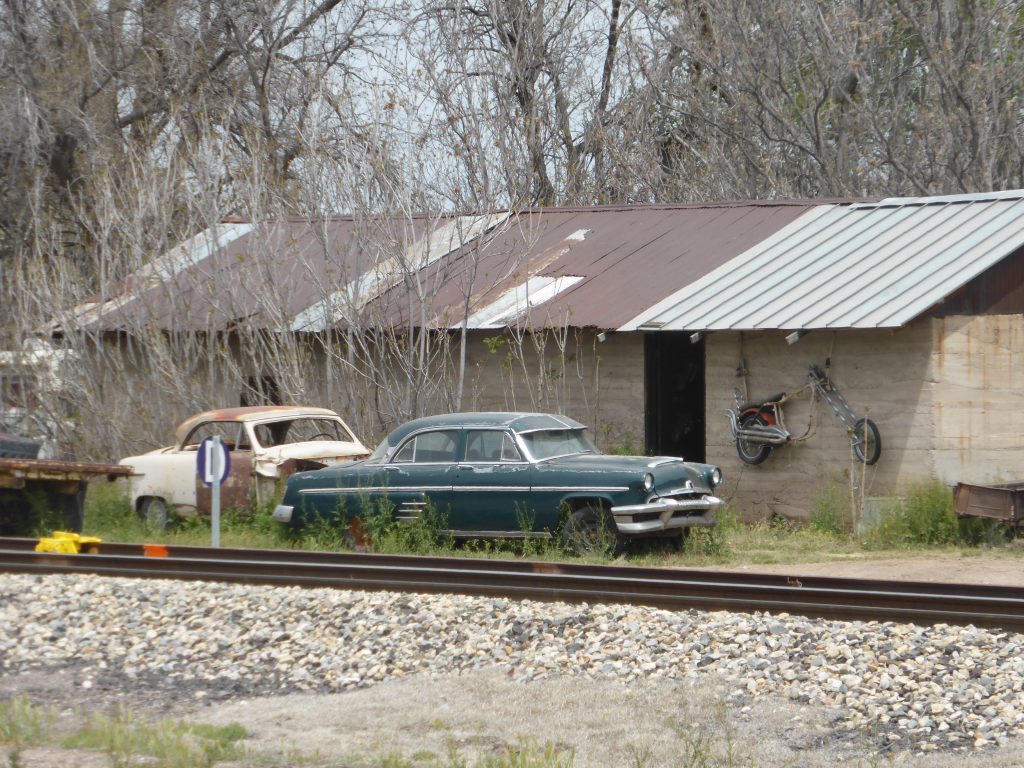
There was a quirky feel to the place with lots of interesting old buildings (and cars) which reminded us a little of Guffey, in Colorado, which we passed through on the Trans Am. Indeed the townsfolk of Duncan were keen to support Southern Tier cyclists riding through, keenly aware of the publicity and business they could bring.
They were also busy organising a cycling event for the weekend and the town was also proving to be a popular stopping off point for motorcyclists. The policy of ‘open up and they will come’ seemed to be working.
“The town has been destroyed three times in the past”.
Mind you Duncan is used to working hard for its survival. The town has been destroyed three times in the past – twice by flood and once by fire, so I’d put my money on the town making a success of itself.
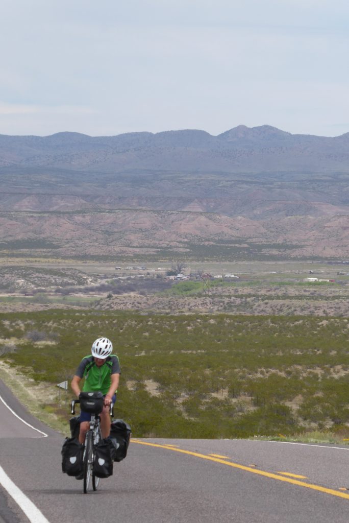
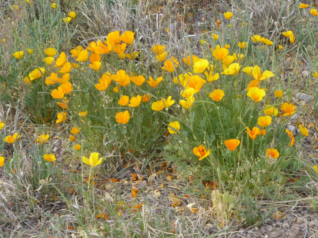
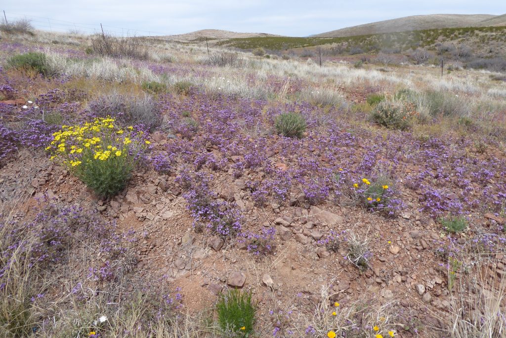
From Duncan we continued on the Old West Highway on a long slow climb through the Gila Valley with distant views of the surrounding peaks and closer ones of the brightly coloured flowers growing by the roadside.
Today’s riding was spectacular and full of colour.
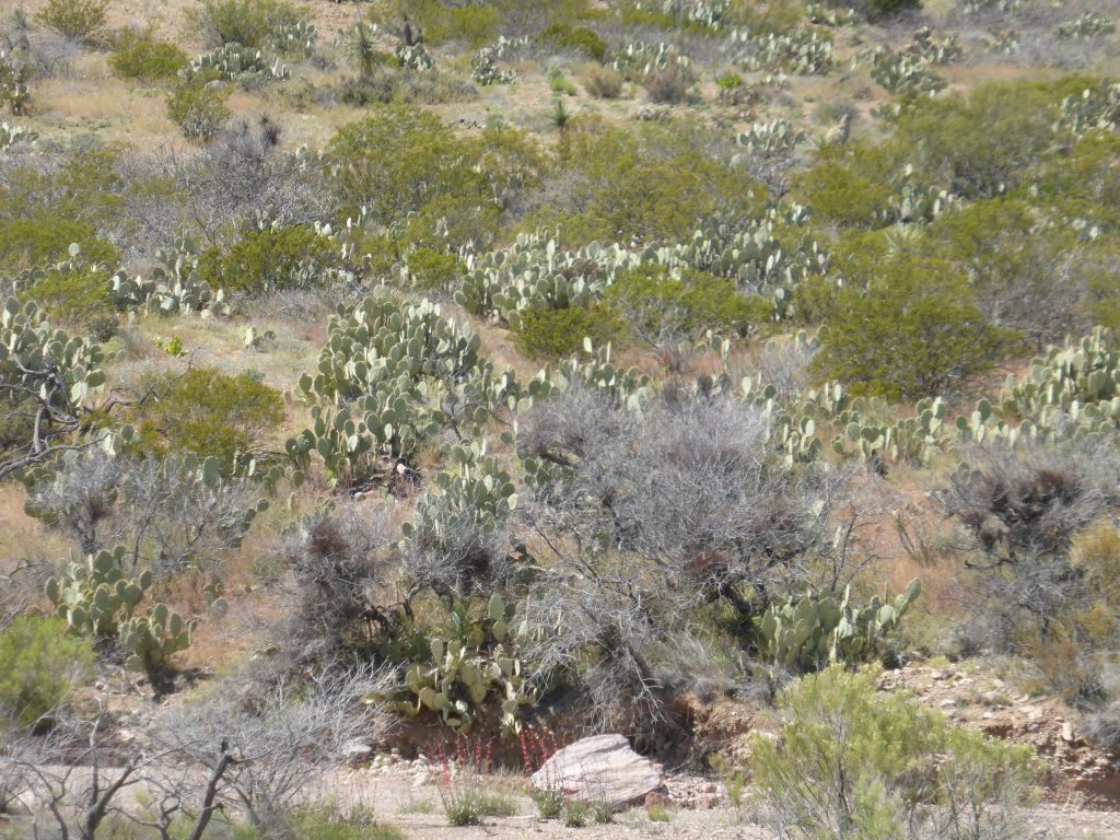
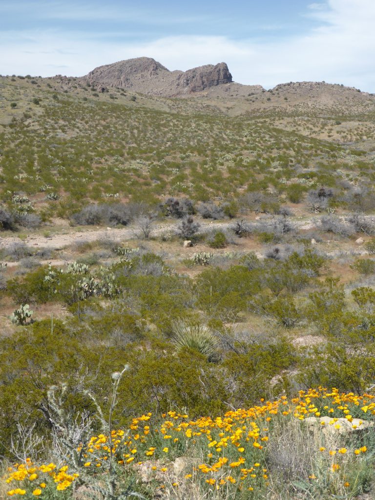
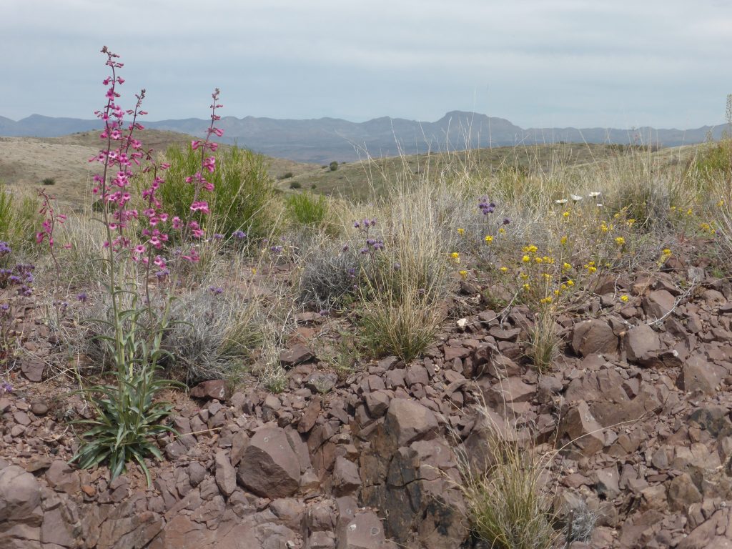
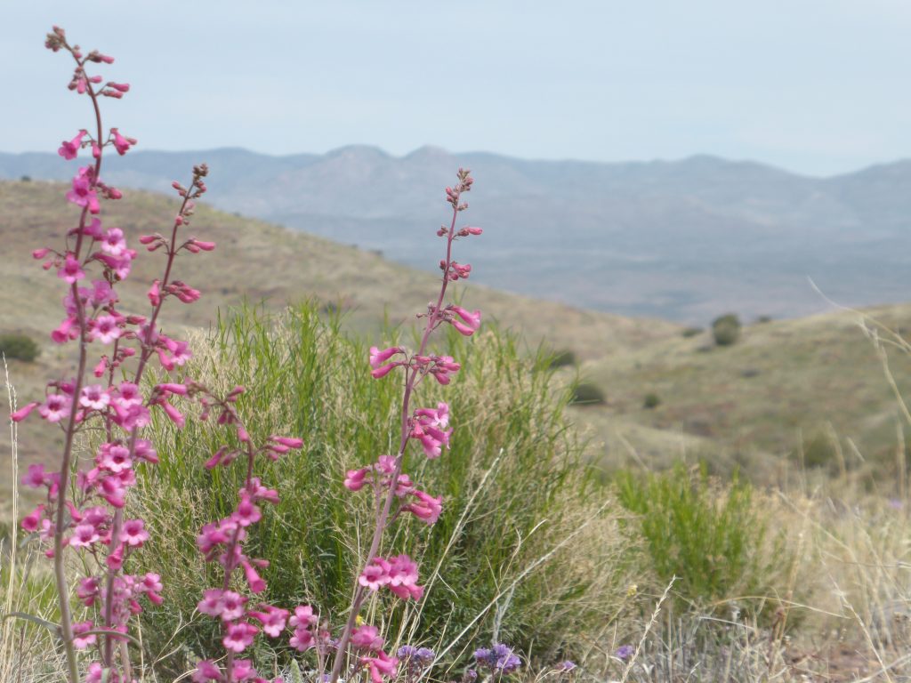
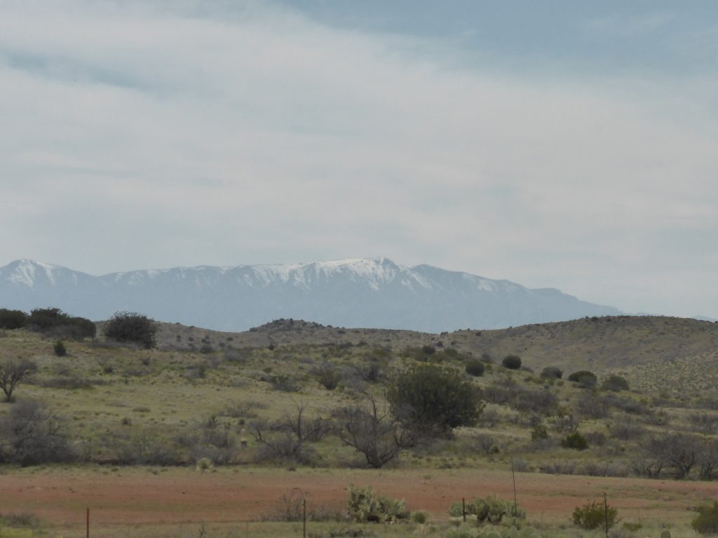
When the downhill came that would take us into Safford, we were treated to some of the very best views of the ride so far – the distant stately presence of Mount Graham, mountain ranges on all sides and fascinating and unusual vegetation, ideally suited to this arid region.
The only tarnish on the whole day was the behaviour of some of the drivers on the road – Arizona be warned, you are the worst state in the US so far for poor road manners! One driver even let out a long blast on his horn while his backseat passenger gave us the finger. Charming.
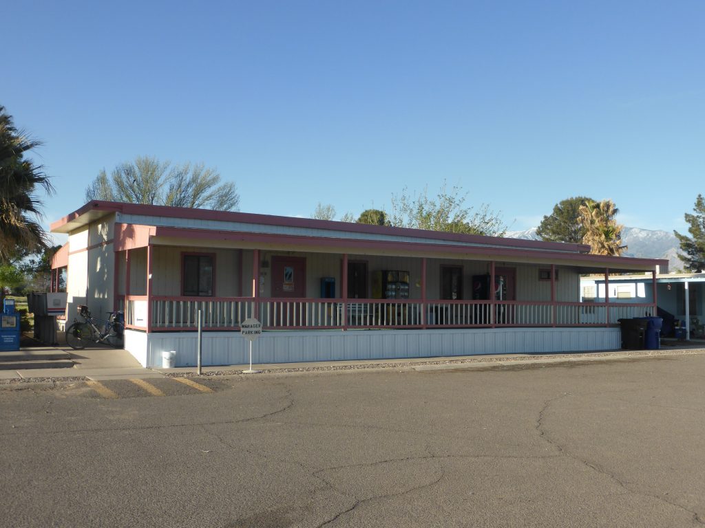
As well as the lack of wind, gaining an hour had also put us ahead of time and we arrived at the Sunrise Village Mobile Home and RV Park by 4pm, with 76 miles under our tyres. Our ACA maps indicated that we could camp there, but on arrival the check-in appeared to be closed and a visit to the site manager’s trailer also proved fruitless.
“It has to be said the reviews for the park were rather mixed, ranging from ‘ghetto’ to ‘trash’ and ‘drug city’ to ‘great community’ “
It has to be said the reviews for the park were rather mixed, ranging from ‘ghetto’ to ‘trash’ and ‘drug city’ to ‘great community’ ‘good neighbourhood, clean and safe’ and ‘awesome’. To be fair, many of the people staying at the site were residents and we were only staying for one night but it was difficult to make a judgement based on that mixed bag!
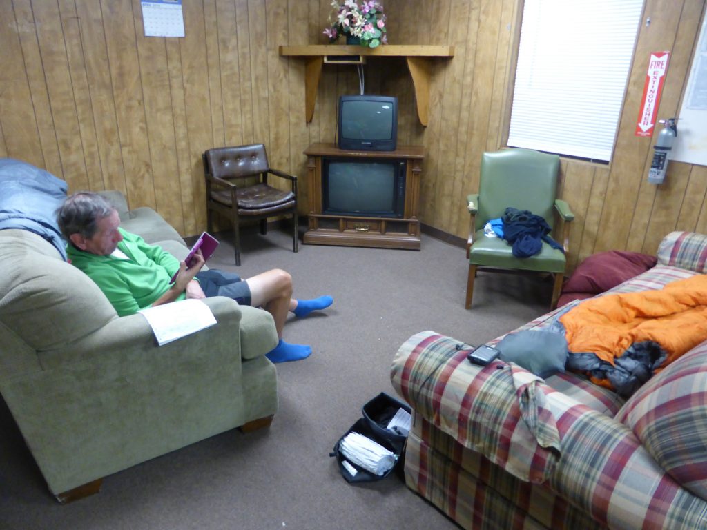
Just as we were considering leaving Vincent, the manager, dressed in a M.A.S.H. T shirt, turned up. He’d once worked in the nearby copper mines but was now running the RV park with his mum. He took us into the site office which also served as a lounge, kitchen and shower block. No, he wouldn’t let us camp on the grass, but insisted we stay on the sofas in the lounge – for security reasons.
He also told us that if we went out to a local restaurant to take everything with us (for security reasons) and we weren’t to let any of the park’s residents into the building after 9pm, after which time we had to lock the door.
“We feasted on gigantic burritos and then returned to crash out on the sofas and await the attack, which of course never came”.
“Why does the film ‘Assault on Precinct 13’ come to mind?” Terry asked after Vincent had repeated his instructions and left for the evening. In the film a group of individuals are trapped in a defunct precinct and have to defend themselves as it comes under attack from a relentless criminal gang. We really should start reading reviews more carefully! Still at least we weren’t outside in the tents.
To be fair, it all seemed perfectly ok, although we did take our valaubles with us when we cycled up the strip to the Los Jibertos Mexican takeaway. We feasted on gigantic burritos and then returned to crash out on the sofas and await the attack, which of course never came.
Today’s miles: 76.14
Miles since Anastasia State Park: 2,396.9